Get Full Government Meeting Transcripts, Videos, & Alerts Forever!
Get email alerts on the Stormwater Management topic
No spam. Unsubscribe anytime.
New Providence engineers outline mapping, $500K cleanup and limits set by state and federal rules after July storm
Summary
Borough engineers told residents the town will map its storm system, begin $500,000 in cleanup and repairs and step up inlet inspections, but said state and federal regulations — and rights-of-way like NJ Transit tracks — limit how quickly large structural fixes can be made.
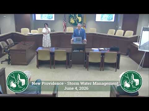
New Providence engineers told residents at a June 11 public meeting that the borough will begin a state‑mandated mapping of its storm system, start roughly $500,000 in cleanup and short‑term repairs authorized by Mayor and Council, and roll out public education and inlet‑inspection programs — while cautioning that major structural fixes will be costly and constrained by state and federal permitting.
"If we use a 100‑year storm, New Providence would need to retain 68 million cubic feet of water," said engineer Andy Hipllet, illustrating the scale of storage that full detention solutions would require. Hipllet and borough consulting engineer Marie Rafy said federal projects dating to the 1950s — including Army Corps work that reshaped the Salt Brook branches and built a 500‑foot, 15‑foot dam at Grove Terrace Park — continue to define how the watershed behaves and what the borough can change without impacting downstream communities.
The borough has authorized an immediate response package of about $500,000 for tasks including cleaning the Deerfield flume, tree and debris removal, channel and outfall cleaning, targeted storm‑pipe repairs and video inspections prompted by the July storm, Marie Rafy said. Council also earmarked roughly $250,000 for pipe replacement and maintenance in the coming year.
Hipllet emphasized regulatory limits: "State rules generally require that when you repair or replace a culvert or bridge you cannot increase downstream flows," he said, noting New Jersey Department of Environmental Protection (DEP) standards that govern design and permitting. He said most municipal systems were designed for 25‑year storms, and DEP rules — revised in July — now tighten requirements for residential and road projects.
Because of those constraints, borough engineers said the near‑term focus will be maintenance and operations: a consistent snagging (debris and tree) program to keep channels clear, routine inlet inspections, and a public campaign (including an "adopt‑a‑drain" effort) to reduce residential debris that clogs inlets before storms. The borough also plans to publish mapping and inspection status via its GIS so residents can file action‑line reports tied to specific inlets.
The engineers said borough crews and DPW have already spent more than $2 million on storm upgrades over the past two decades and added another $500,000 in the months after July, but large detention basins and systemwide redesigns carry multi‑million‑dollar price tags and lengthy DEP review timelines. "A project of the scale some residents imagine could cost tens of millions and require years, even a decade, for permits and design," Hipllet said.
Residents pressed for clearer prioritization. Hipllet said the borough will evaluate complaints and prioritize work based on a risk framework (threats to life, then injury, then property damage and access), produce a ranked project list for the mayor and council and return with follow‑up reports after mapping and initial cleanups — he suggested reconvening for an update in January or February.
What’s next: mapping of all inlets, manholes and pipes will begin within months as a state requirement; borough staff and consultants plan to complete inspections and a camera‑based condition assessment in 2027 and to post interactive maps for the public by early next year.