Get Full Government Meeting Transcripts, Videos, & Alerts Forever!
Get email alerts on the Land Use Development Rezoning topic
No spam. Unsubscribe anytime.
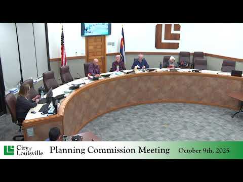
Planning commission backs Cole Creek Village rezoning, limits new Front Street link to emergency access after residents raise safety concerns
Summary
The Lewisville Planning Commission voted Oct. 9 to recommend rezoning and a preliminary PUD/plat for the 10.7‑acre Cole Creek Village development (188 units, 13,534 sq ft commercial) but added a condition that the proposed Front Street connection be built as pedestrian/bicycle access and reserved for emergency vehicles to reduce cut‑through traffic after sustained neighborhood objections.
The Lewisville Planning Commission on Oct. 9 recommended approval of a rezoning and preliminary PUD/plat for the Cole Creek Village project, but only after adding a condition that the proposed Front Street connection be designed as a pedestrian and bicycle corridor with emergency‑vehicle access only.
Senior Planner Matt Post told the commission the revised traffic impact study — prepared after the commission asked for further analysis last year — projects the development would generate about 1,839 daily vehicle trips, with roughly 220 AM peak‑hour trips and 244 PM peak‑hour trips. "The results of the revised impact study indicate that the Front Street connection is necessary as part of this development to maintain appropriate vehicular circulation and safe vehicular operations in and around the site," Post said during his presentation.
Why it mattered: city staff and the applicant argued the Front Street link would spread traffic loads and reduce unsafe U‑turn and weaving movements on the nearby arterial (South Boulder Road/Highway 42). City Engineer Cameron Folks told the commission engineering staff also view the connection as necessary for the roadway network and for emergency access: "Development of this parcel within the allowable zoning would require the Front Street connection based on engineering staff's review of this," he said.
Neighborhood opposition: dozens of residents and nearby business owners urged the commission to delay or deny the recommendation, saying the Front Street link would channel traffic through the historic Little Italy neighborhood and across routes used by children walking and biking to Lewisville Middle School. "It's simply not going to work," resident David Fenmore said, describing school‑dropoff congestion and warning that the connection would invite cut‑through travel. Property owner Robert Kulicowski objected separately, saying his small parcel on the northwest corner of the site had not been adequately consulted and asking that his legal access and recorded rights be addressed before any approval.
Applicant response and mitigation: the applicant presented a revised design concept intended to discourage non‑resident cut‑through traffic while preserving emergency access. Sam Coots of Ripley Design described a solution used elsewhere that terminates the public right‑of‑way and uses a private drive with a public access easement, raised paving, landscaping and chicanes to signal a pedestrian‑focused environment. The applicant also committed to several traffic‑calming measures shown in the traffic study, such as raised crosswalks, curb extensions and signage.
Commission action and conditions: after extended deliberation the commission approved a motion to recommend the rezoning ordinance and the preliminary PUD/plat to City Council (resolution 15, series 2025) with the staff conditions in the packet and one additional condition added by the commission. The extra condition directs that the Front Street connection be detailed and constructed as a pedestrian/bicycle corridor with a public access easement configured to provide emergency vehicle access only (including physical or enforceable measures to discourage routine motor‑vehicle through traffic). The roll call vote was unanimous: Chair Brown Eyes, Vice Chair Basket, and Commissioners Banks, Hunt and Molen voted "yes."
Other project details and next steps: the preliminary approval recommended 188 dwelling units (60 town homes, 96 apartments, 32 micro town homes), 13,534 square feet of ground‑floor commercial, about 316 parking spaces and 23,258 square feet of private park space on a roughly 10.7‑acre site at the southwest corner of South Boulder Road and Highway 42. The applicant proposed 12% on‑site inclusionary housing with half of those units at or below 60% of area median income and the remainder between 60% and 80% AMI. The commission’s recommendation now goes to City Council for first and second readings; if council approves, the project would move to final plat and final PUD review, where more detailed engineering (drainage, right‑of‑way geometry, and final emergency‑access design) would be required.
What remains unresolved: residents repeatedly asked the city to delay action until larger intersection and Highway 42 improvements — projects staff said are planned but not yet funded — are in place. Property‑specific legal and access concerns raised by at least one nearby owner were also not resolved at the hearing and were flagged for follow‑up. The commission’s emergency‑access condition aims to balance adopted policy goals for connectivity and transit‑oriented redevelopment with neighborhood safety concerns; City Council will have the final say on those details.
The Planning Commission also continued a separate signage item to the Nov. 13 meeting and closed the hearing.