Get Full Government Meeting Transcripts, Videos, & Alerts Forever!
Get email alerts on the Land Use Subdivision topic
No spam. Unsubscribe anytime.
Commission approves re-subdivision of Horizon Commons to create three marketable parcels
Summary
The Open Space and Conservation Commission approved subdividing the Horizon Commons commercial plaza at 1863–1899 Silusene Highway into three lots to improve financing prospects for future pad-site developers; the applicant presented a wetlands delineation and commissioners noted questions about fill depth and a mapped watercourse.
Jim Cassidy, a professional engineer with Housey Pearson Cassidy, told the Open Space and Conservation Commission that the owner of Horizon Commons is seeking to re-subdivide the commercial property at 1863–1899 Silusene Highway (parcel ID 04-350) into three parcels to make pad sites more marketable and financeable. Cassidy said no construction is proposed now and described the plan as a paper subdivision intended to allow future buyers to obtain financing for buildings on the pads.
Cassidy said Davidson Environmental performed a wetlands delineation and placed GPS-flagged points across the site. He told the commission that soils shown on the federal web soil survey as a mapped wetland type were found on-site to be compact gravel and fill from historic development, and that the consultant found no clear indicators of high groundwater in the highlighted lawn area adjacent to Aldi. "There is no discernable soil profile nor presence of any redoximorphic features associated with high groundwater," Cassidy said, summarizing the consultant's findings that the mapped wetland soil appears to have been altered by prior development.
Commissioners queried the consultant's findings and the plan. Commissioner Stevens said it would have been helpful to have the soil scientist present and flagged a technical concern: ‘‘If you have shallow fill over an original wetland — say 12 inches of fill — it can still be a wetland; we generally like to see 24–30 inches of evaluation,’’ he said. Another commissioner asked Cassidy to clearly label an unnamed watercourse shown on historical plans and staff maps; Cassidy said the watercourse is within the conservation easement and that the team will identify and label it on the plan.
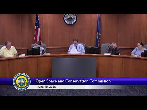
After discussion, the commission moved to approve the proposed re-subdivision of the parcel into three lots (parcel A around the existing Kohl’s and Aldi, a 4.2-acre parcel B for a future 41,910-square-foot pad, and a 7.14-acre parcel C intended as a smaller restaurant pad). The motion passed on a voice vote. Commissioners did not adopt conditions beyond the usual requirement that any future development within regulated buffers must return to the commission for permits and that staff obtain precise topographic and survey data if development is proposed.
The commission’s packet included the original 2004 site plan showing existing buildings and unbuilt pads. Cassidy emphasized the current request is a subdivision on paper only: "All we're looking to do is to subdivide this property into three parcels," he said. The commission advised staff to ensure future applications include topographic surveys, the wetlands consultant’s full report, and clearly labeled watercourse information before construction activity occurs.
The commission approved the re-subdivision motion; the transcript records a voice vote in favor but does not list a roll-call tally.