Get Full Government Meeting Transcripts, Videos, & Alerts Forever!
Get email alerts on the Enforcement Mapping topic
No spam. Unsubscribe anytime.
Planning board compiles shoreline violations, endorses reporting and advances town mapping update
Summary
The board compiled observed shoreland and marina concerns from recent site visits, agreed to file enforcement referrals through the town system, and endorsed a KB COG-supported digital mapping upgrade to correct resource protection layers and aid future permitting.
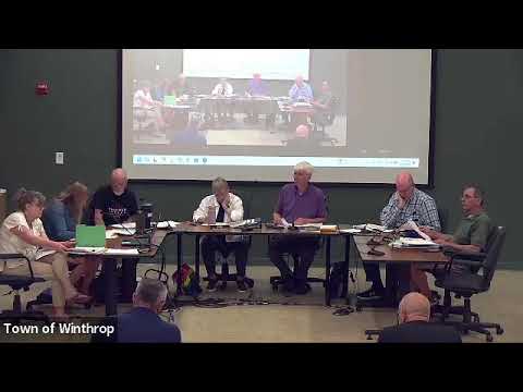
The Winthrop Planning Board on June 9 reviewed several enforcement observations from site visits, discussed legal guidance on accepting applications when property violations exist, and moved to document enforcement matters through the town’s iWork system while advancing a townwide digital map update with KB COG.
Enforcement referrals and site visits: Board members listed at least five items they observed that may be violations: multiple marina docks appearing longer than allowed by statute; an apparently permanent tent/platform and newly constructed stairs at Boot Cove/Lower Narrows; a widened driveway on Memorial Drive; and other local shoreland work where erosion controls were not observed. The members agreed that when multiple board members observed a potential violation on a site visit it should be submitted as an official Planning Board referral via the town’s iWork system so code enforcement can track inspections and compliance.
Legal guidance on applications with violations: Staff circulated email guidance from counsel explaining that, in many cases, if an application is otherwise complete the board cannot refuse to accept it solely because the property has existing violations (except in some shoreland or sanitary/sewer-specific circumstances). The board asked staff to put the criteria on a checklist to make acceptance/denial decisions clearer.
Digital mapping and buildout analysis: Staff reported progress with KB COG (Turner) to convert the town’s static zoning maps into an online parcel viewer with layers for shoreland, resource protection, steep slopes, sewer/water and buildable area. Turner will correct inaccurate parcel zoning and incorporate up-to-date slope and resource data; staff said the map uplift is part of the KB COG contract and the updated parcel viewer should be available publicly within weeks.
Boot Cove map change: The board reiterated that it had approved a resource-protection-line revision affecting multiple lots in Boot Cove and expects staff to forward that approved map change to the Town Council for formal adoption (possible council agenda in early July). Staff will confirm noticing requirements and whether abutter notices are required.
What happens next: Staff will log the enforcement referrals in iWork on behalf of the Planning Board, produce a checklist reflecting counsel guidance on accepting applications with violations, continue coordination with KB COG on the parcel viewer, and prepare any required materials for the Town Council related to the Boot Cove resource protection change.