Get Full Government Meeting Transcripts, Videos, & Alerts Forever!
Get email alerts on the Gis Governance topic
No spam. Unsubscribe anytime.
Lawmakers press for permanent GIS governance to coordinate state, local and federal mapping
Summary
A legislative committee heard presentations from ETS, the Department of Revenue, University of Wyoming, local and federal partners urging a statutory, durable GIS governance structure to reduce duplication, improve data quality, and make authoritative mapping resources searchable and usable across agencies. The panel asked LSO and stakeholders to draft legislation for the next meeting.
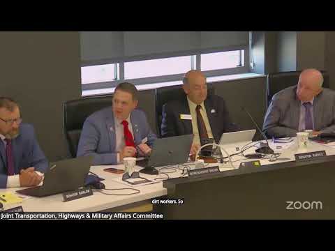
Members of the Transportation, Highways & Military Affairs Committee heard detailed testimony on March 1 about the need for permanent state governance of geographic information systems (GIS) to improve data sharing, reduce duplication and strengthen public access.
Jeff Kleins, director of Enterprise Technology Services and state chief information officer, told the committee ETS maintains the Wyoming Interagency Mapping Enterprise Server and has statutory responsibility to coordinate geospatial work. “Our vision is to move from these isolated silos to a formalized governance model,” Kleins said, arguing a durable structure would expand reuse of data, lower licensing and infrastructure costs and publish authoritative sources for public use.
Nut graf: The testimony, from county IT leaders, federal land managers, the University of Wyoming’s WyGISC and state agencies, laid out a common problem: Wyoming has valuable mapping resources — statewide parcel layers, oblique and orthophoto imagery, elevation and public‑land survey data — but lacks a statute-backed, long-lived coordinating body to set standards and identify authoritative stewards. Committee members instructed the Legislative Service Office and stakeholders to draft a bill for the committee’s next meeting.
What presenters said: Nancy McCann, a longtime GIS practitioner and former policy adviser, traced 30 years of starts and stops — executive orders, advisory councils and short-lived funding — and asked, “If not now, when can we have legislative policy?” She urged the legislature to create a statutory home so the work will survive changes in administration.
Ken Gill, administrator of the Department of Revenue’s Property Tax Division, demonstrated the department’s statewide parcel viewer, which brings county assessor shapefiles into one searchable map and is updated after the board certifies county values (typically each June). “We’re probably one of the only states that actually has a statewide parcel viewer,” Gill said, showing how the tool maps taxing authorities and links to county assessor pages.
Gill also described enterprise‑level imagery services: the Department contracts EagleView for oblique (bird’s‑eye) photos that allow on‑screen measurements and automated change‑detection, tools counties and businesses use after storms or construction.
University of Wyoming representatives described WyGISC’s longstanding public clearinghouse and the instability of project funding over time. WyGISC staff warned the committee that a single, funded coordinator is often the difference between a short‑term effort and a sustainable service.
Local and federal partners urged clarity about "authoritative data." Jordan Evans, Laramie County’s application lead, said counties are the authoritative source for many framework layers (parcels, addresses, local roads), and BLM’s Karen Rogers asked for an agreed list of authoritative stewards for federal layers such as PLSS and surface ownership.
What would governance do: Witnesses suggested statute should authorize a coordinating body (a council or commission), identify stewards for framework layers (parcels, addresses, elevation, orthoimagery, transportation, hydrography, geodetic control, governmental units), set metadata/format standards, clarify confidentiality rules, and propose stable funding and staffing for a clearinghouse.
Committee action: Representative Geringer moved and Representative Larson seconded a request that LSO and stakeholders draft language for a governance structure that would specify authoritative datasets, data storage/publishing responsibilities, and funding options. The motion passed; the committee asked LSO to circulate comparable statutes from states such as Utah and Montana and asked stakeholders to help craft a Wyoming‑specific approach.
Why it matters: Committee members and witnesses said better GIS governance could reduce redundant aerial flights and mapping projects, lower license and infrastructure costs through shared enterprise agreements, and reduce the risk that citizens or emergency responders rely on out‑of‑date maps. The change would also help the state take advantage of new AI‑enabled geospatial tools by ensuring consistent, machine‑readable data.
Next steps: LSO will work with Representative Geringer and the stakeholder group to draft legislation and return a proposal to the committee at its next meeting.