Get Full Government Meeting Transcripts, Videos, & Alerts Forever!
Get email alerts on the Land Use topic
No spam. Unsubscribe anytime.
Consultant reviews NH—current-use rules, deadlines and tax consequences
Summary
Adrian Summers of Norm Bernays Consulting summarized the Department of Revenue Administration—current-use program, application forms, filing deadlines, eligibility rules (generally 10+ acres), the 20% recreational reduction and the 10% land-use-change tax; residents asked about maps, stewardship plans and how posting affects recreational discounts.
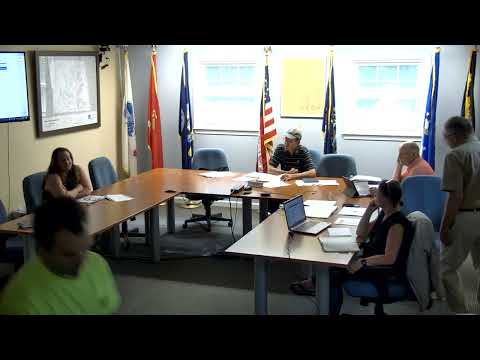
Adrian Summers, a consultant with Norm Bernays Consulting, told the New Ipswich Select Board that state law establishes a current-use program intended "to encourage the preservation of open space" and that municipalities must update current-use records at least every five years. He said the Department of Revenue Administration provides the forms used by towns, including the A-10 application, the A-5 land-use-change report and the CU-18 notice of change. "It is hereby declared to be in the public interest to encourage the preservation of open space," Summers read from the statute while explaining assessment ranges and the administrative process.
Why it matters: Current-use classification lowers assessed values for qualifying forest, farmland and other open-space land; the state and municipal procedures determine how land is recorded, when a property is removed from the program and when the land-use-change tax is triggered. Summers emphasized deadlines and recording steps: applications should arrive by April 15 to take effect for that tax year, municipalities must notify applicants by July 1, and approved applications are recorded at the registry of deeds (the recording functions as notice and establishes the contingent lien).
Board and resident questions focused on practical impacts. Summers said most current-use enrollments require parcels of 10 or more acres, with two limited exceptions for smaller parcels (income-based agriculture and certain pond/ wetland credits). He explained the CU-18 change-notice process for small boundary adjustments and stewardship updates and described how the soil-potential index and an owner-supplied stewardship plan can affect the per-acre current-use rates. On recreational reductions, he said owners who accept the 20% rec reduction must allow public recreational access year-round (hunting, fishing, hiking) and cannot post the land; if the parcel is later discovered posted the owner may lose the rec reduction and cannot reapply for it for three years.
Residents asked whether the town can accept alternative matrix forms and how to find prior records. Summers said municipalities may collect the DRA-specified data in different local formats but should retain maps and supporting documents in the assessing office; owners who lack prior records can request existing files from the assessing office. He urged landowners to use the town GIS and aerial imagery to prepare maps and noted the current-use advisory board sets annual assessment ranges that the assessing software then applies.
The presentation closed with a reminder that a land-use-change tax is typically 10% of the fair market value of the affected land at time of disqualifying change, municipalities have 18 months from discovery to bill that tax, and appeals are available through the Board of Tax and Land Appeals.
What happens next: The select board and assessing staff agreed to continue outreach to residents who did not return forms and to make printed copies of the current-use assessment ranges available at the town office.