Get Full Government Meeting Transcripts, Videos, & Alerts Forever!
Get email alerts on the Wetlands Zoning topic
No spam. Unsubscribe anytime.
Harpswell launches updated freshwater-wetland review; residents press for clearer data on zoning implications
Summary
Town planner Margaret McIntyre and consultants from Fly Catcher described a GIS-based reassessment of three Harpswell wetlands (Nos. 6, 23 and 24). Residents welcomed updated mapping but raised concerns about historic FEMA-derived data, acreage changes and the prospect of stricter 'resource protection' zoning.
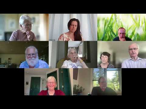
Harpswell town planner Margaret McIntyre told residents on Zoom that the town has commissioned Fly Catcher to re-evaluate freshwater wetlands using modern imagery and GIS modelling, focusing initially on three sites the town lists as wetlands Nos. 6, 23 and 24. "We are doing a two-part project that involves assessing freshwater wetlands in Harpswell," McIntyre said, adding the work will help the planning office determine whether current shoreland zoning classifications remain accurate.
The review responds to a long-running reliance on a 1995 Woodlot Alternatives study and older FEMA maps that some residents say misclassify wetland boundaries. McIntyre said the study could save homeowners the cost of individual delineations when applying for permits and that all materials will be posted on the town planning page. "In the chat today you will find a link to the Woodlot Alternative study that was done in 1995 that...is the basis of the shoreland zoning for Harpswell," she said.
Tim Forester, a wetland scientist with the consultant Fly Catcher, described a desktop-first approach that overlays current aerial imagery, FEMA flood maps, National Wetlands Inventory data and roads into a GIS model. "We will be doing a pretty extensive GIS-based study in order to update this information," Forester said, noting that most results can be resolved digitally and that targeted field visits would follow by permission for sites that raise questions. He said no drone work is proposed at this project scale.
Residents and conservation leaders pressed on both scientific and practical implications. Maryanne Nate, chair of the Harpswell Conservation Commission, said older maps show areas such as Cranberry Horn Hill as wetlands where newer imagery does not, and emphasized wetlands’ role in holding water and recharging the township’s fractured-rock aquifer. "...the more you can hold there, the better off you're going to be," Nate said, urging protection where warranted.
Long Reach Lane residents asked for careful ground verification. "That wetland back in 1995 was the only forested wetland listed on the list...if that wetland is dominated by tall woody vegetation, then it would not be subject to shoreland zoning," resident Scott Cowgger said, arguing that upland inclusions could reduce contiguous acreage below the state’s 10-acre threshold.
Other property owners worried about regulatory consequences if sites qualify for state-defined "resource protection." "Kicking this into resource protection ... significantly restricts homeowners' ability to make small changes on our property," said John Jones, president of the Long Reach Road Association. McIntyre replied that the town is not proposing immediate rezoning of properties and that any change would follow state definitions and the Planning Board process with owner notifications.
Several residents challenged the historical data. A participant identified as Kathy said recent mapping shows wetland 6 near Kundy's Harbor Road much larger than earlier work and raised concerns that wetland 7 was filled for a cell-phone tower with drainage now routed by a culvert onto private land. "I have some very serious questions about some of the quality of the data that's being used in this study," she said; Forester replied that higher-resolution imagery and GPS-enabled field checks can be used to test specific parcel boundaries and that Fly Catcher can walk boundaries with owners’ permission.
Timeline and next steps: Forester and McIntyre said the first desktop phase for the three focus wetlands should be completed in a few weeks, and they tentatively projected a final report by "end of the summer" or early fall. McIntyre said the consultant’s report will be posted on the planning page and, when complete, forwarded to the Select Board. Residents were encouraged to add contact information to the chat for follow-up and to request site visits.
What remains unresolved is how many parcels, if any, would meet the state definition for resource protection once the updated mapping and any field delineation are complete, and what specific restrictions would apply in each case. The town’s next public update is likely to be an initial data presentation followed by targeted outreach to property owners for questions and potential site visits.