Get Full Government Meeting Transcripts, Videos, & Alerts Forever!
Get email alerts on the Land Use topic
No spam. Unsubscribe anytime.
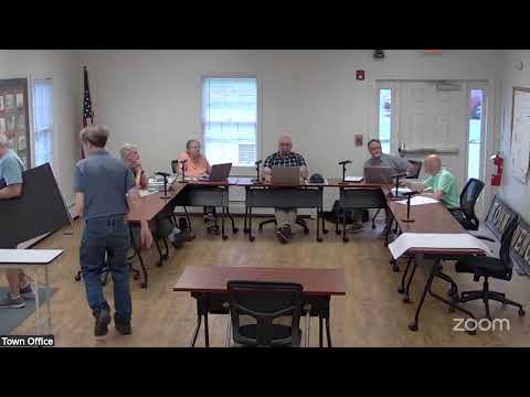
Newcastle planning board approves subdivision of 196‑acre Coastal Rivers parcel with flood condition
Summary
The Newcastle Planning Board unanimously approved a subdivision of a roughly 196‑acre Coastal Rivers Conservation Trust parcel at 99 West Hamlet Road, creating a ~2.5‑acre lot around the farmhouse. Approval includes standard conditions and a requirement that principal structures be set at least 3 feet above the 100‑year flood elevation.
The Newcastle Planning Board voted unanimously on June 12 to approve a subdivision of Map 7, Lot 9 (99 West Hamlet Road), splitting a roughly 196‑acre parcel to create a roughly 2.5‑acre lot around the existing farmhouse.
The board accepted a staff‑prepared finding of facts and then voted separately on compliance with each applicable article of the zoning and subdivision code, as required by the town attorney. After moving through standards for district applicability, water and sewage capacity, stormwater, erosion, scenic and natural values and other items, members concluded the application met the code’s requirements and approved the subdivision with conditions.
Why it matters: The vote clears a path for the property owner or trust to market and transfer the farmhouse parcel while preserving the balance of the larger property; the board attached conditions intended to reduce flood and natural‑resource risks and to confirm there have been no prohibited timber‑harvest violations.
The board attached routine conditions of approval and at least one explicit site condition tied to floodplain management: any principal structure on new lots must have its lowest floor (including basements) at least 3 feet above the 100‑year flood elevation identified by FEMA for the site. The chair also noted that the board requested information from the Maine Forest Service regarding timber‑harvest activities; that request was made May 20, 2025, and the item was listed as a condition pending the agency’s response.
The board recorded a completeness finding for the application (the submission dated April 15, 2025, updated through June 12, 2025) and then approved the application as submitted. The approval passed by a five‑to‑zero vote; Scott moved the completeness motion and Kevin seconded, and Scott was listed as a mover on final actions.
Board members emphasized that most technical standards were not triggered by new development because the application proposes only a lot division at this time and no new construction. The record notes the existing farmhouse is uninhabitable (no utilities) and that any future construction would need to return to the board for applicable permitting and plan review.
Next steps: Planning staff will finalize the written findings of fact and conclusions of law, circulate final documents for signature, and the applicant may proceed with recording the subdivision subject to the conditions. Any future building proposals on the new lots will be reviewed under the town code and state regulations.
Speakers quoted or referenced in this item are identified in the meeting record as the Chair, Scott, Kevin and board members who participated in motions and votes.