Get Full Government Meeting Transcripts, Videos, & Alerts Forever!
Get email alerts on the Shoreland Zoning topic
No spam. Unsubscribe anytime.
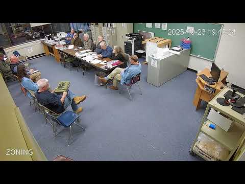
Consultant tells Baldwin planning board town map is over‑inclusive; board sets five decision points
Summary
Consultant Mike Morris presented a revised shoreland zoning map and ordinance edits aimed at aligning Baldwin with state minimum standards, flagging unclear treatment of forested wetlands, stream definitions, slope triggers, map detail and how the town will notify affected landowners; the board asked staff to assemble data and return with options for a vote at a future town meeting.
Mike Morris, a consultant with Archipelago in Portland, told the Baldwin Planning Board that the town’s current shoreland zoning map applies resource protection too broadly and is inconsistent with the town’s ordinance and the state’s minimum standards.
Morris, who was hired to draft a new shoreline zoning map and proposed ordinance amendments, said the state’s chapter 1000 shoreland zoning rules set minimum standards — not maximums — and that Baldwin’s map currently designates far more streams and wetlands for a 250-foot resource protection district than the ordinance’s four triggers require. “The mandatory shoreline zoning act in essence says the local ordinances have to meet the minimum standards,” he said.
Why it matters: maps and ordinance language determine setbacks and whether a property owner must get planning approval or a state permit to build. In Baldwin, the practical difference can be significant: a 250-foot resource protection zone effectively prohibits many activities, while a limited residential shoreland district proposed by Morris would allow some development inside the 250-foot zone subject to standards (e.g., 75‑foot structure setback from wetlands; 100‑foot from great ponds).
Morris walked the board through the ordinance’s four triggers that can require resource protection zoning: (1) FEMA 100‑year floodplain, (2) two or more contiguous acres with sustained slopes of 20 percent or greater, (3) two or more contiguous acres supporting wetland vegetation and hydric soils, and (4) land along rivers subject to severe bank erosion or channel migration. He said the draft map was produced from standard federal datasets — the US Fish and Wildlife Service’s National Wetlands Inventory and the national hydrography dataset — but cautioned those data are a 10,000‑foot view and contain errors.
Board members focused on five decision points the presentation made clear: whether forested wetlands are included under Baldwin’s freshwater wetland definition, which streams the town should regulate (the ordinance references the national hydrography dataset), how to treat steep slopes (the ordinance’s slope/acreage threshold), whether to align the ordinance text with the more inclusive current map or to adopt the stricter state‑minimum approach, and how detailed a public‑facing map the town should publish (parcel/tax overlays and 75/100‑foot setback bands would require larger maps or a GIS viewer).
On forested wetlands, discussion highlighted ambiguity in Baldwin’s current language that says freshwater wetlands are defined “other than forested wetlands.” Morris told the board that state guidance and past DEP/Attorney General interpretations have differed and recommended the ordinance explicitly state whether forested wetlands are included or excluded so the provision cannot be read two ways.
Board members also raised practical protections and burdens. Morris noted that NWI or hydrography layers are commonly used for mapping, but a property owner who disputes a designation can hire a wetland scientist to perform an on‑the‑ground delineation and seek a map correction; the official zoning map, however, controls until the town formally amends it at a planning board/selectboard process and (if required) town meeting vote.
Several members pointed to a recent land sale and a developer inquiry about placing tiny homes near Sandborn Pond, underscoring why accurate mapping and clarified ordinance language matter to property owners and to the town’s regulatory burden.
Next steps the board agreed to: staff (Don) will prepare a short list of additional data and map layers needed (tax parcel overlays, slope analysis, clearer setback depiction); Morris will prepare alternate maps showing (a) the draft, state‑minimum approach and (b) a more inclusive overlay; the board aims to review materials in January, then schedule public hearings with an eye to a town meeting warrant in the following cycle. No ordinance amendments or binding votes were taken at the meeting.
Representative quotes from the meeting include Morris’s warning about permitting: “Don’t you dare get within 75 ft of that without a permit from DP,” underscoring that even if the town does not regulate a stream or wetland, state and federal regulators may still have jurisdiction. A planning board member asked, “How do we get something serviceable for the people of Baldwin?” — a question the board framed as a guiding objective for map detail and public outreach.
The session closed with a procedural motion that was seconded; the board will reconvene on the shoreland zoning question after staff compiles the requested data.