Get Full Government Meeting Transcripts, Videos, & Alerts Forever!
Get email alerts on the Drainage Reconstruction topic
No spam. Unsubscribe anytime.
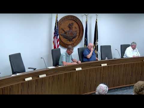
Howard County surveyor lays out reconstruction plan for Maria Coons drain; residents challenge costs and notice
Summary
At a public hearing on the Maria Coons regulated drain, county survey staff described a reconstruction to upsized tile and armoring at a problem bend, an estimated $164,815 project cost before ARP offsets, and a proposed five‑year assessment plan; residents questioned soil-factor charges, notice and whether the work would prevent future flooding.
Paul, a survey staff member for Howard County, opened the public hearing on the Maria Coons regulated drain by describing the drain’s size and condition: 2,777 feet of open ditch and about 4,834 feet of drainage tile serving roughly 395.8 acres across 68 parcels. He said repeated tree‑root infiltration and degraded tile require targeted reconstruction and open‑ditch clearing.
The proposed scope includes armoring a problem 90‑degree turn, replacing a 12‑inch tile south to State Road 26 with an 18‑inch tile and replacing an 8‑inch tile in the wooded south end. Paul said the county has narrowed the scope to avoid an estimated‑cost threshold that would trigger a public bid process and external engineering paperwork.
On costs, staff presented a detailed breakdown: an estimated project cost in the low‑$130,000s plus a roughly 12% contingency (about $16,049), giving a total near $164,815. Officials said they plan to apply $60,556.40 in remaining ARP funds to reduce the landowner assessment; after that offset the assessment obligation to watershed property owners would be about $104,258.60, to be collected over five years with a $100 minimum. Presenters also cited an estimated benefits figure and a benefit‑cost ratio used in staff calculations.
Several residents pressed staff on three themes: notice, fairness of the assessment formula and flood protection. Rebecca Slages, a resident at 3964 South 350 West, said she did not receive earlier notification and asked for a plain explanation of what a “watershed” is and how soil factors affect assessments. Paul and Greg (county surveying staff) explained that the county uses state soil‑mapping combined with parcel land‑use categories in a GIS, which produces area‑weighted factors (residential, agricultural, wooded, hard surfaces) that adjust each parcel’s assessment. They emphasized the mapping is derived from state soil series rather than on‑site septic tests.
Multiple residents asked whether the reconstruction would guarantee no future flooding. Paul replied the work will increase capacity and reduce frequency of flooding for most events but cannot prevent flooding in extreme events (for example, a very large, short‑duration storm). He said open‑ditch cleaning, spraying woody vegetation every other year and an 8–10 year dredging cycle were part of a longer maintenance plan.
Residents also asked how much tree clearing would occur and where contractor access would be staged. Staff said the work would clear trees on the east bank in a roughly 50‑foot swath in targeted sections needed to access the ditch; log removal and requests for specific trees could be coordinated with the contractor.
After hearing comments, the board voted to take the matter under advisement and continue consideration at its next meeting on July 6 at 5:00 p.m. No formal reconstruction vote or final assessment determination was made at this hearing.