Get Full Government Meeting Transcripts, Videos, & Alerts Forever!
Get email alerts on the Zoning Map Exercise topic
No spam. Unsubscribe anytime.
Planning committee tests draft zoning maps and flags growth-area trade-offs under LD 2173
Summary
At a June 12 workshop the Long Range Planning Committee ran a hands-on mapping exercise for Dunston and Pine Point, weighing growth-area designations that alter lot-size rules under LD 2173 and proposing a 'working waterfront' special district for marine businesses.
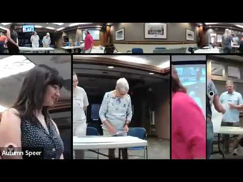
The Long Range Planning Committee held a public mapping workshop June 12 where residents and planners traced proposed zoning overlays on paper to test district boundaries and growth-area designations.
The committee chair opened the meeting and staff guided participants through tracing and overlay exercises meant to convert legacy zoning into proposed districts such as neighborhood center, town center, neighborhood residential, suburban residential, conservation, and rural farm. A staff member explained the policy stakes: "If you're in a growth area, your minimum lot size with water and sewer is 5,000 square feet; if you're not in a growth area and you have water and sewer, it's a 10,000 square-foot lot," a staff member told the group, framing why the growth-area label matters for potential future lot yields.
Small groups applied the overlays to Dunston and Pine Point as trial runs. Participants generally recommended neighborhood residential in parts of Pine Point and neighborhood or town center designations along Route One in Dunston, while also flagging mismatches where current R2 zoning appears larger on paper than surrounding lot patterns on the ground. Several participants proposed using conservation buffers along marsh edges to protect low-lying areas while allowing denser neighborhood residential near established corridors.
A recurring suggestion was the creation of a special "working waterfront" district to preserve marine-related businesses and shorefront residences rather than placing those parcels in standard industrial or residential zones. One participant described the concept as a way to "maintain a fish-monitoring and marine-related business mix" while keeping working uses on the waterfront.
Committee members said staff will compile the group maps and return with a consolidated map for further discussion. The committee emphasized this was a trial exercise to identify where proposed districts make sense and where additional refinement — for example, buffers, lot-size transitions and special waterfront rules — will be necessary before any formal zoning amendments are drafted.
The meeting closed with members planning follow-up mapping and a report-back at a future meeting.
The committee’s next regular meeting is scheduled for July 10.