Get Full Government Meeting Transcripts, Videos, & Alerts Forever!
Get email alerts on the Planning And Zoning topic
No spam. Unsubscribe anytime.
Belvidere council directs planning department to publish city zoning map
Summary
The council adopted Resolution 2026-17 directing the planning department to publish the city zoning map, citing an annual state requirement and small boundary cleanups and annexations; the motion passed unanimously.
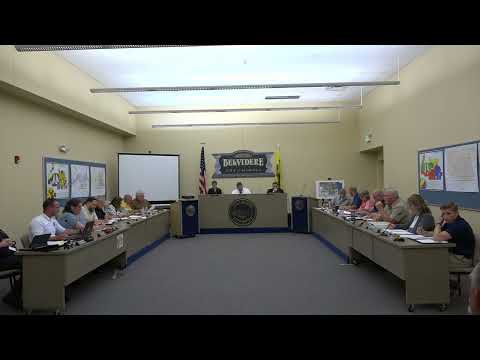
The Belvidere City Council on June 15 adopted Resolution 2026-17 directing the planning department to publish the city zoning map.
Alderwoman Frank moved and Alderman Flurry seconded the resolution. Planning staff member Gina told the council the publication is a routine, annual obligation imposed by the state and that the current map includes small boundary clean-ups around St. James Cemetery, an area near Walmart, and recent annexations. "This is just... the state requires us to publish it annually," Gina said.
Alderman Albertini asked a clerical question about a numbering discrepancy on the agenda; staff confirmed the correct resolution number is 2026-17. The clerk recorded a 10–0 roll-call vote; the resolution passed.
Next steps: planning staff will publish the zoning map with the indicated exhibit and ensure it is available at the city clerk’s office and online as required by state rules.