Get Full Government Meeting Transcripts, Videos, & Alerts Forever!
Get email alerts on the Flooding topic
No spam. Unsubscribe anytime.
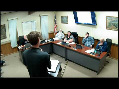
Hydrology consultant Joe Lewis presents flood‑risk study to New Richland council
Summary
Consultant Joe Lewis told the New Richland City Council that the city's drainage system (open channel and culverts) handles roughly 400–600 CFS but a 100‑year event produces about 1,200–1,300 CFS, and presented alternatives including a northern diversion, channel widening, buyouts and levees; council asked for a public meeting and directed staff to pursue grants.
On Aug. 28, 2024 the New Richland City Council heard a hydrology study from consultant Joe Lewis that quantified the city's flood risk and evaluated potential infrastructure responses.
Lewis told the council that the existing open channel and culverts generally convey about 400–600 cubic feet per second (CFS), while a 100‑year flood in the local watershed produces roughly 1,200–1,300 CFS — two to three times the system's capacity. He said the watershed draining to the city is about 10 square miles and described the study's purpose as measuring how high and how often high‑water events occur and then testing how different projects would reduce mapped flood extents.
The consultant walked council members through four broad types of alternatives: enlarging the city's channel and replacing culverts to increase conveyance; building diversion channels (including a northern bypass east of the highway and southern/western reroutes); property buyouts for parcels inside the floodplain; and structural protection such as levees or flood walls. On the tradeoffs he said channel widening could require removing or setbacking nearby structures, diversions demand land acquisition and alignment choices, and levees or walls would be sized to FEMA design standards (generally about three feet above the mapped flood elevation).
Lewis showed scenario maps of culvert‑replacement and channel‑widening options, and said the railroad culvert on the east side is a major chokepoint that limits benefits unless it is addressed. On value and feasibility he identified the northern diversion as a strong candidate because of topography and relative effectiveness, but he and staff emphasized no single measure will fully protect every structure and combinations of alternatives are likely to be required.
The presentation also covered funding pathways. Lewis described the Minnesota Department of Natural Resources mitigation program, which has historically funded projects statewide and is appropriated annually, and suggested the city could rank as medium or high priority with a strong application. He also noted an available Minnesota Pollution Control Agency (MPCA) planning grant that would pay for additional technical work and typically requires a 10% local match.
Council members pressed for local cost details and questioned a land‑price estimate included in the study; Lewis said he used University of Minnesota sales data that may be out of date and that more detailed acquisition estimates would follow. The council agreed staff should set up a public meeting for a longer community presentation of the maps and invited the consultant back with more refined analysis and grant preparation materials.
The next procedural step recorded in the meeting was direction to schedule a public information session and continue technical and grant work; no formal funding commitments or construction decisions were made at the meeting.
"There's a flooding problem here in the city," Lewis said during the presentation, explaining why the analysis and subsequent public discussion are necessary.