Get Full Government Meeting Transcripts, Videos, & Alerts Forever!
Get email alerts on the Traffic Mitigation Map topic
No spam. Unsubscribe anytime.
Commission advances traffic-mitigation zoning map (option B) to public hearing; approves administrative change-of-use process
Summary
After reviewing two GIS map options, the commission favored Option B for the traffic-mitigation zone and agreed to send it to a public hearing next month; staff also introduced a new administrative commercial change-of-use application and flagged a forthcoming parking needs assessment document.
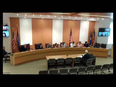
The New Canaan Planning & Zoning Commission on June 23 directed staff to advance Option B of a proposed traffic-mitigation zone map to a public hearing after a GIS briefing and commissioner feedback.
Staff presented two map alternatives intended to maximize the town's targeted allocation in the sewer district while excluding parcels unlikely to redevelop or that are state-owned (staff flagged a state-owned gas-station parcel for exclusion). Option B removes lots farthest from the train station and preserves contiguous sewer-connected parcels closer to transit; commissioners said Option B best matched policy goals and voted to move it to a public hearing next month.
Separately, staff introduced a new online commercial change-of-use application that implements recently adopted regulations allowing certain administrative staff approvals for in-zone commercial use changes. Commissioners requested staff circulate the draft form to commissioners and downtown practitioners for feedback; staff will implement the new workflow unless substantial concerns are raised. Staff also signaled a soon-to-appear parking-needs assessment checklist to guide administrative reviews of changes of use and mixed-use proposals.
Next steps: Staff will refine Option B maps to remove state- and federal-owned parcels where appropriate and post the map package for a public hearing. The change-of-use application will be circulated for practitioner review and refined before launch.