Get Full Government Meeting Transcripts, Videos, & Alerts Forever!
Get email alerts on the Sidewalks topic
No spam. Unsubscribe anytime.
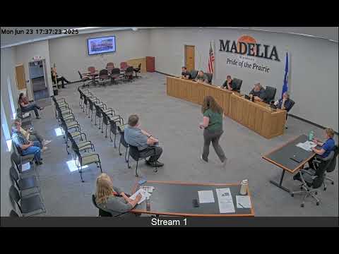
EA meeting approves $1,500 sidewalk assessment to map barriers and prioritize repairs in Madelia
Summary
The EA meeting approved a $1,500 sidewalk assessment to create a GIS inventory of sidewalks, identify ADA barriers and help prioritize repairs; the funding was approved to come from the sidewalk account or Fund 52 by voice vote.
The EA meeting in Madelia approved a $1,500 sidewalk assessment to inventory sidewalks, map pedestrian ramps and identify barriers such as tree roots and broken panels.
Dave Schmid, who identified himself as a rental manager for Ced and spoke throughout the meeting, described two options for the assessment: a lower-cost $1,500 option using GIS and aerial imagery to mark ramps and obstacles, and a more detailed, consultant-led ADA transition survey that would require on-site digital leveling and higher cost. "I have here two examples of potential options using our GIS mapping," Schmid said, adding the $1,500 option would be useful for a community-wide inventory.
Council members discussed methods and costs, including using county aerial imagery to pre-map sidewalks and geotagging photos in the field to document obstructions. Schmid said the lower-cost approach would be sufficient for a community-wide inventory and that a full ADA transition plan should be pursued only if the city seeks state-level ADA funding or needs a compliance-grade survey.
On funding, staff recommended using either the street-department sidewalk cost-share account or Fund 52 (an infrastructure investment fund). The council made a motion to approve the $1,500 assessment; the motion was made during the meeting and carried by voice vote.
The assessment is intended to create a GIS layer that highlights where pedestrian ramps and sidewalks are missing or obstructed, to help prioritize future repair or construction projects. Staff said they will return with the assessment results and recommendations for next steps.
Next steps: staff will proceed with the selected mapping option and present findings and prioritization to the council for potential capital work.