Get Full Government Meeting Transcripts, Videos, & Alerts Forever!
Get email alerts on the Floodplain Residential Change topic
No spam. Unsubscribe anytime.
Dalton Birchfield rezoning draws opposition over flooding and density; commissioners tie approval to engineering
Summary
A proposal to rezone 1.1 acres at 400 Birchfield Avenue to allow duplexes prompted lengthy public concern about flooding and noise on June 22; commissioners debated tabling the request but ultimately approved zoning with the final duplex count to be determined by engineering and plat review.
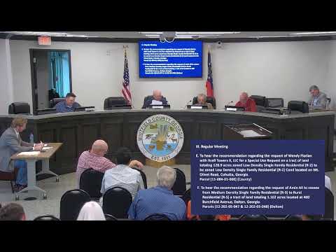
A proposal to rezone 1.1 acres at 400 Birchfield Avenue in Dalton from R‑3 to R‑5 prompted sustained neighborhood opposition on June 22, as residents raised flooding and livability concerns and commissioners debated whether to table the request or approve it with engineering conditions.
Staff planner Ethan Calhoun told the commission the parcel is served by city sewer but that a rear portion of the lot lies in the 100‑year flood zone and part of the property lies in the floodway, which is not developable. Calhoun said the rezoning would allow an additional duplex dwelling alongside the existing single‑family home and characterized the proposal as infill consistent with nearby duplex development.
Shazman Ali, appearing for property owner Amin Ali, said the plan is to leave the existing home in place and to place up to three duplexes toward Birchfield Avenue once surveys and engineering are completed. "We should be able to get three duplexes," he told the commission, noting he is working with surveyors and engineers to resolve elevation and access questions.
Resident Herbert Rudy, who said he has lived in the neighborhood nearly 60 years, urged the commission to deny or delay the rezoning, describing persistent flooding from a runoff creek and saying new duplexes would worsen parking, noise and 24‑hour disturbances. "It floods now often," Rudy said, and he questioned whether three duplexes could be placed outside the floodplain.
Commission members and staff examined the flood layers on the map and debated next steps. Some commissioners favored tabling to await detailed engineering and topo data; others said the zoning change itself could be approved while the engineer and platting process determine how many units can actually be built. One commissioner summarized the practical effect: an engineer’s approval could limit the duplex count, and the plat process would be decisive.
After discussion, commissioners voted to approve the rezoning with the understanding that final unit count and plat approval will follow engineering review and city platting standards. City planning staff will require completed surveys and an engineering determination of the buildable area before issuing permits.
The decision places the rezoning in a conditional posture: the zoning classification was changed to allow duplex development in principle, but engineering and platting steps will determine how many duplexes can be built on the parcel and whether additional constraints apply.
Next steps include the petitioner completing topographic and floodplain engineering work and the city’s planning office completing plat review before building permits are issued.