Get Full Government Meeting Transcripts, Videos, & Alerts Forever!
Get email alerts on the Parcel Viewer topic
No spam. Unsubscribe anytime.
Planning board previews parcel-viewer updates and mapping corrections to resource-protection layers
Summary
Staff demonstrated recent parcel-viewer improvements (layer control, slope/resource protection layers) and warned that parcel lines are not yet survey-quality; the board asked staff to continue corrections and to integrate survey data when subdivision/survey plans are filed.
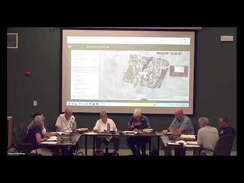
Planning staff demonstrated an updated online parcel-viewer that now exposes separate layers for resource protection, shoreland zones and public-water overlays, enabling board members and the public to turn components on and off as they review parcels.
Staff and the KB‑COG mapping consultant (Turner) explained the current limitations: parcel outlines were digitized from paper maps and overlaid on aerial imagery, so some parcel lines and shoreline depictions are not survey-quality and will be refined. The board was advised that 20% slopes are being used as an indicator for resource protection and that the mapping will be refined further as survey or engineering submissions arrive.
Members were encouraged to test the map and report discrepancies; staff said certified survey plans submitted with subdivision or permit applications would allow the town to push survey-quality data into the viewer over time. The board also discussed using the parcel viewer to host permit/complaint status information and to link reported violations to public records in the code enforcement system.