Get Full Government Meeting Transcripts, Videos, & Alerts Forever!
Get email alerts on the Forecasting And Preparedness topic
No spam. Unsubscribe anytime.
Meteorologist at Dunedin Hurricane Expo urges residents to evacuate when ordered, cites AI gains in short-range forecasting
Summary
At Dunedin's 2026 Hurricane Expo, Greg D of Tampa Bay 28 News told residents to 'evacuate' when ordered, outlined why intensity forecasting remains uncertain, and said a Google AI model recently matched or outperformed traditional short-range track forecasts but needs more testing.
Greg D, a meteorologist with Tampa Bay 28 News, told attendees at the 2026 Hurricane Expo in Dunedin that the single safest action when officials order an evacuation is to leave. "When they say evacuate, get out," he said, stressing that a storm’s worst impacts can arrive far from the eye and that small shifts in track can change a neighborhood’s outcome dramatically.
Greg described how forecasting has improved but still has limits. He said the National Hurricane Center (NHC) remains the most accurate track forecaster at longer ranges, but that, in recent comparisons, a Google AI model performed better at 12–72 hours and tied the NHC at 96 hours, while the NHC was stronger at 120 hours (five days). "One season does not a model make," he cautioned, saying the AI result is promising but requires multiple seasons of verification.
He emphasized that intensity forecasts remain the least reliable part of hurricane prediction because instruments and direct observations over the ocean are sparse. "The part of the storm we are worst at forecasting is the intensity," he said, and explained that small-scale processes in and near the eye are often below the resolution of most models and sensors.
Greg urged residents to use the NHC cone as one tool but to remember the cone shows where the eye may go, not the full extent of impacts. He used recent storms — including Ian, Irma, Helen and Milton — to illustrate how damaging winds, tornadoes and freshwater flooding can fall well outside the forecast cone. He recommended documenting property with photos and model numbers for insurance and having a clear plan and destination before a storm arrives.
On observational data, Greg praised satellites, buoys and hurricane-hunter flights for improving situational awareness but warned that reduced satellite capability or research staff cuts could pose challenges. He noted that some research staffing had been cut in recent years and that the National Weather Service office that serves the area had been operating with constrained staff levels, a trend that could slow scientific gains without complementary new data sources.
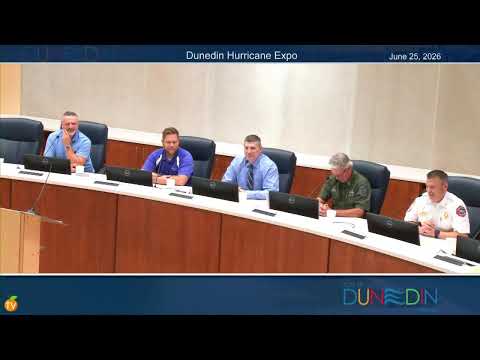
The presentation closed with a reminder that while El Niño may reduce the number of Atlantic storms, it can increase rainfall and shift impacts; a quiet season in name does not remove the risk of a locally destructive storm. Greg then joined a panel of local officials for a city-focused preparedness discussion.