Get Full Government Meeting Transcripts, Videos, & Alerts Forever!
Get email alerts on the Mapping Responses topic
No spam. Unsubscribe anytime.
Wythe County planning commission approves several parcel map tweaks, leaves broader corridor rezonings for public process
Summary
Staff recommended and the commission approved map adjustments for specific parcels (including Crockett family parcels) and asked staff to review other map items; commissioners agreed to leave major corridor rezones (near the outlet mall/interstate) subject to public hearings and special‑use review so residents can weigh in.
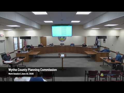
Planning staff proposed a set of parcel-level map corrections and responses to public submissions during the June 22 session; commissioners authorized several targeted changes while deferring larger corridor rezones pending public hearings.
Specifics: Staff recommended rezoning two Crockett family parcels (Parcels 2640 and 2640A) to agricultural; the commission concurred. Staff also noted suggested adjustments in Collins Cove subdivision and other locations and said it would review the mapping and bring back recommendations. For Blackberry and Pine Brook, staff will review deed covenants and existing lot sizes and return with a mapping recommendation.
Commercial corridor and residents’ concerns: Residents near Whispering Pines raised objections to expanding commercial mapping nearer to residential lots along the outlet‑mall corridor. Commissioners largely favored retaining existing commercial frontage near the mall and said that for new proposals the special‑use and rezoning processes would give residents opportunities to testify and protest. Staff emphasized that if a property is currently commercial, a buyer could develop it before an ordinance takes effect; mapped changes will be made with attention to existing uses and road/frontage patterns.
Next steps: Staff will document the agreed parcel-level changes, refine the mapping layer, and post proposed changes for public comment. The item will be scheduled as old business on the July agenda so commissioners can review revisions after staff homework.