Get Full Government Meeting Transcripts, Videos, & Alerts Forever!
Get email alerts on the Zoning Map Change topic
No spam. Unsubscribe anytime.
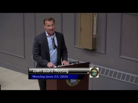
Wappinger board adopts new town zoning map after months of debate
Summary
After a public hearing and extended debate, the Wappinger Town Board voted to repeal the official zoning map in full and adopt a new map that expands larger‑lot residential districts and a Hamlet Mixed‑Use zone intended to preserve rural hamlets and limit high‑density multifamily development.
The Town of Wappinger on Monday adopted a local law repealing the town’s official zoning map and replacing it with a new map that expands one‑acre single‑family residential (R80), creates R5A and Hamlet Mixed‑Use (HM) districts, and redraws several boundaries across the town. The measure, introduced as Local Law/Resolution 2026‑149, passed following a public hearing and extended discussion by the board.
Supporters said the package implements professional recommendations and the comprehensive plan’s intent to protect the town’s rural character and hamlet centers. Supervisor Cavsini framed the changes as a response to new state stormwater, wetlands and MS4 requirements and to what consultants called the town’s “conventional yield” review of parcels. “We listened to our professionals and our planning board,” Cavsini said during the discussion, adding the map aims to reduce the risk of over‑development and protect water and road capacity.
At the public hearing, several residents and county legislators addressed the board. Ken Chrisman of Old Hope Road told the board he had submitted correspondence from Dutchess County planning that questioned the town’s moratorium process and urged the board to ensure county referral comments were addressed before rezoning parcels. Chrisman also alleged that a particular parcel was being singled out for rezoning and described the change as “reverse spot zoning.” County legislators Alex Winsby (Dist. 14) and Kevin Giles (Dist. 13) both said they supported the town’s approach to preserving hamlet character and protecting natural corridors.
Board members debated tradeoffs across more than 100 parcels referenced in the proposal, with several members stressing the need for a consistent methodology that weighs current zoning, conventional yield, impacts to neighboring properties, and infrastructure capacity for water, sewer, fire and EMS. Councilman Phillips moved the adoption and Councilwoman Odell seconded. The local law was adopted following the board vote (board recorded a verbal 'I' vote); the transcript records the motion and second and that the local law “has been adopted.” The transcript does not provide a roll‑call tally by member.
Why it matters: The change rewrites the town’s map and will change allowable uses and lot yields across many property parcels. Board members said the map reduces opportunities for high‑density multifamily housing in single‑family zones and expands the Hamlet Mixed‑Use zone to enable smaller, walkable centers in places such as Meyers Corner and other historic hamlets. The town will still be subject to state and county reviews: residents who raised procedural concerns asked the board to document county referrals and municipal compliance.
Next steps: The town clerk will publish the local law as adopted and notify Dutchess County and other required agencies. Board members also signaled continued planning work and said staff will field inquiries from landowners affected by the remapping.