Get Full Government Meeting Transcripts, Videos, & Alerts Forever!
Get email alerts on the Active Transportation topic
No spam. Unsubscribe anytime.
County presents 65% design to add separated bike and pedestrian lanes on Iron Horse Trail; pilot segment estimated at $2 million
Summary
Contra Costa County presented a 65%-complete dual-tracking design for the Iron Horse Trail—building parallel bicycle and pedestrian paths—and proposed a 1.3-mile pilot segment costing about $2 million. Supervisor Candace Andersen stressed safety, school access and grant-seeking; county staff said current pilot locations avoid buried easements.
Contra Costa County officials on June 23 outlined plans to "dual track" San Ramon’s portion of the Iron Horse Trail, creating a separate paved bicycle corridor alongside the existing pedestrian trail to reduce conflicts and improve access to schools and transit.
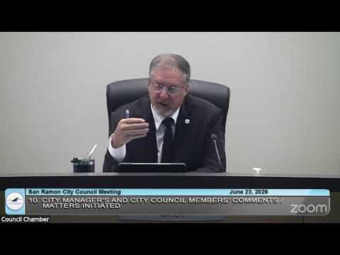
Supervisor Candace Andersen told the City Council the design is about 65% complete and that the county has identified a 1.3-mile pilot segment that it believes could be constructed for roughly $2 million. "This design is 65% complete," Andersen said. She described the project as a multi-phase effort to separate slower pedestrians from faster wheeled users and to improve 'last‑mile' access to BART and other regional transit.
County engineer Carl Roner said the pilot segment was chosen in part because it contains no subsurface utility easements in the new alignment: "The good news is where we're putting the new trail, there is no easements underneath it," he said, adding that the absence of easements reduces environmental and construction constraints on that section.
Andersen reviewed the corridor's legal and planning history — including AB 1025, passed in 2019, that removed a state requirement to hold the right-of-way for a transit guideway — and said the county has put $500,000 of park-impact fee money into design work so far. She said the county is seeking grants and federal directed spending (it has requested $1.5 million in congressional funding) and expects to continue applying to MTC and CCTA programs to cover construction and additional design.
Councilmembers raised questions about neighborhood connections, school access and safety. Andersen and Roner said the plan calls for a vegetated buffer between paths, new transition designs at bridges and crossings, and coordination with East Bay Regional Park District (which maintains parts of the corridor) to ensure long-term maintenance. Andersen acknowledged safety concerns related to e-bikes and said pilot segments will include design and enforcement strategies to reduce conflicts. "We really want to take advantage of transit, what we call the last mile," she said.
The county estimated it could begin construction of a pilot segment as soon as 2027 if funding is secured, and Carl Roner suggested a construction schedule on a bid-build model could take roughly a year once funded. Andersen and staff said the county will continue to coordinate with San Ramon on the Crow Canyon Bridge design and other local connections so the dual-track alignment ties into planned city bridges.
The county presentation included cost estimates, funding prospects and an implementation approach that staggers segments to manage easement, utility and environmental constraints. Officials emphasized outreach, coordination with East Bay Regional Park District and local cities, and phased construction to test design details before wider rollout.
What happens next: county staff said they will keep pursuing grants and may request letters of support from the city as applications move forward. Council members encouraged continued outreach and a phased approach to protect pedestrians and connect neighborhood access points.