Get Full Government Meeting Transcripts, Videos, & Alerts Forever!
Get email alerts on the Land Use Lot Size topic
No spam. Unsubscribe anytime.
Oronoco planners split over 14,000‑sq‑ft minimum as sewer funding pushes density questions
Summary
At a Feb. 26 Planning & Zoning workshop commissioners debated a 14,000‑sq‑ft minimum for R‑1 lots versus smaller alternatives (10,000–12,000), weighing neighborhood character against wastewater funding and connection needs. Staff will return with mapped buffer options and flex‑development language.
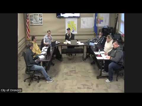
On Feb. 26 the City of Oronoco Planning & Zoning Commission continued a workshop on proposed zoning code revisions, focusing on the R‑1 single‑family district and the minimum lot‑size standard. Commissioners debated whether the draft 14,000‑square‑foot minimum aligns with the city’s comprehensive‑plan goals and the community’s established lot pattern, or whether smaller lots should be allowed in some areas to help fund and serve a new wastewater treatment phase.
The discussion traced the number’s evolution: a 2022 Stantech community survey recommended a range of lot sizes — roughly 6,000 sq ft downtown, 8,000 in intermediate areas and about 10,000 on outer lots — and commissioners said a steering committee earlier considered 10,000 then 12,000 before Planning & Zoning recommended 14,000. Multiple participants warned that increasing the minimum to 14,000 would reduce the number of houses per mile by roughly 25–30 compared with a 10,000‑sq‑ft baseline.
The sewer project was a central point. Staff summarized prior cash‑flow work and the project funding picture, saying state and grant funding obtained in 2020 helped launch phase work but that additional bonding and grants will be required for later phases. Staff described a conservative modeling scenario that assumed about 10 new connections per year to phase 1B in the cash‑flow analysis; that pace and the timing of additional funding affect how quickly new housing — and therefore new utility connections — would materialize.
“Our responsibility are the people who elected us — the residents — not the developers,” Planning Commissioner Daniel Le said, arguing that neighborhood character should shape minimum sizes unless the commission adopts explicit protections for existing owners. Several commissioners proposed a hybrid approach: retain 14,000 as a default in the R‑1 text but add a development‑flex pathway to allow smaller lots for planned projects, and create mapped “step‑down” buffer overlays (or a new intermediate zone) so that areas that abut established large‑lot neighborhoods get stronger protections.
Staff was directed to return with concrete options: (1) language for grandfathering existing lots and clearer minor vs. major‑subdivision triggers for lot splits, (2) a land‑use map layer showing where smaller lots could be allowed, and (3) a development‑flex process that would let denser proposals proceed with additional review and public notice. Commissioners set a follow‑up workshop for March 12 to continue discussion of B2/R2 material and to review the drafted buffer/mapping alternatives.
Why it matters: the choice of a single‑family minimum lot size has both visual and fiscal effects — it influences neighborhood character, the number of potential utility connections that support the sewer project and the affordability/availability of future housing. The commission’s next packet will show mapped options and draft wording to reconcile those objectives.