Get Full Government Meeting Transcripts, Videos, & Alerts Forever!
Get email alerts on the Safety Action Plan topic
No spam. Unsubscribe anytime.
BRPC unveils draft Safety Action Plan to target high‑injury roads; public comment open through Dec. 2
Summary
Berkshire Regional Planning Commission staff and consultants presented a draft Safety Action Plan funded by an SS4A planning grant that identifies a High Injury Network, top 50 prioritized projects and a toolbox of countermeasures; the draft is open for public comment through Dec. 2 and BRPC aims for MPO adoption in January 2025.
Berkshire Regional Planning Commission senior transportation planner Nick Russo presented a draft Safety Action Plan developed with Beta Group consultants that aims to reduce serious injuries and fatalities on Berkshire County roads and to position the region for federal implementation funding. The plan, funded by a Safe Streets and Roads for All (SS4A) planning grant (about $250,000 awarded to Berkshire County), combines historic crash records and a predictive risk model to create a High Injury Network and a ranked list of projects for the region.
Russo said the plan adopts a Safe System approach—safer roads, safer vehicles, safer speeds, safer people and post‑crash care—and is “designed to bring engineers, law enforcement, planners and the public together to reverse trends and move toward zero fatalities.” The draft lays out the top 50 regional projects and additional community‑level projects that BRPC and its partners can use to prioritize grant applications for infrastructure and programmatic funding.
Beta Group project manager Jeff Max described the technical approach: a trends‑based analysis from state crash report data combined with a risk‑based predictive model that weighs traffic volumes, roadway geometry and other attributes. The team applied factors for vulnerable road users, over‑representation in serious/fatal crashes, local public input and environmental justice to score and rank projects. “We combined both the trends‑based and risk‑based analyses into our High Injury Network,” Max said.
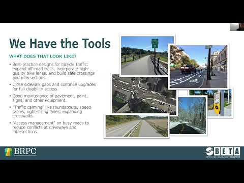
Beta Group analyst Anna Sanger highlighted findings on who is most at risk. Pedestrians and bicyclists make up a small share of total crashes but a disproportionately large share of serious and fatal crashes, she said; head‑on and single‑vehicle crashes are also over‑represented in fatal outcomes. The report includes expected crash modification factors for specific countermeasures—hybrid beacons, rapid rectangular flashing beacons, raised crosswalks, lane narrowing and roundabouts—so towns can estimate likely safety benefits from candidate projects.
Staff demonstrated an online interactive dashboard that maps crash locations, severity, environmental justice overlays and project rankings. Presenters told attendees the dashboard and the detailed list of the top 50 projects are available on the project website and in handouts. Russo said the draft is on the BRPC project page and the public comment period is open now through Dec. 2; final edits are expected in mid‑December, with the regional Metropolitan Planning Organization slated to consider adoption in January 2025.
Russo and consultants emphasized that adoption of the Action Plan will enable BRPC and partner municipalities to reference a vetted plan when applying for implementation funding through federal programs. No formal votes were taken at the presentation; staff sought public feedback and commitments to form a Vision Zero advisory committee to guide priorities and milestones.
Next steps listed in the draft include forming an advisory committee, defining performance measures and annual reporting tied to the SS4A grant, and updating the HIN as new crash data arrives. The project team encouraged residents, town officials and DPW staff to use the online comment form or leave notes on the meeting map to ensure local concerns—such as sidewalk gaps and campus crosswalks—are reflected in final priorities.