Get Full Government Meeting Transcripts, Videos, & Alerts Forever!
Get email alerts on the Zoning Comprehensive Rezoning topic
No spam. Unsubscribe anytime.
Abita Springs planners present major rezoning update after months of public input
Summary
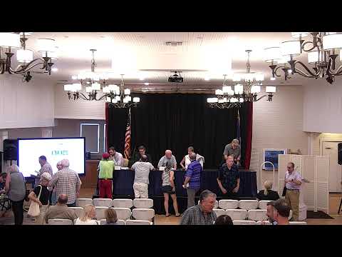
At a July 31 Planning & Zoning meeting, staff presented survey results and draft zoning/map edits and solicited commissioner direction; debate centered on duplexes, conservation residential, a crane‑manufacturing use near Pratt's Dair Road, and flood and traffic concerns. A clean draft will post mid‑August and return for discussion Aug. 28.
Abita Springs planning staff on July 31 briefed the Planning & Zoning Committee on a near‑final draft of a comprehensive rezoning that reflects months of public engagement and several principal decision points, and asked commissioners for direction before posting a clean draft in mid‑August.
The presentation by Desireine consultant Alex Carter summarized public outreach — including an ARCGIS micro‑survey (May 29–June 26) with more than 200 responses and a July 17 Q&A meeting that drew more than 100 residents — and how that feedback shaped proposed edits to the permitted‑use table and the town map. Carter said the intent has been to reduce the intensity of proposed changes where possible: “we keep turning the knob to be less and less intense,” he told the commission, describing adjustments that narrow commercial and mixed‑use footprints in several neighborhoods while preserving limited commercial land to support town finances.
Why it matters: the proposed rezoning would reshape where duplexes, mixed‑use development and light industrial activity could occur across Abita Springs. Staff emphasized dependence on existing infrastructure — notably septic/sewer constraints governed by LDEQ rules that, in many places, effectively require roughly two‑acre lots — as a limiting factor that has driven some maps and lot‑size proposals.
Key details and dispute points
• Duplexes and traditional residential districts: Survey and social‑media feedback showed strong opposition to permitting duplexes broadly in neighborhood residential areas. Staff said duplexes were removed from the neighborhood residential district in the current draft and remain permitted only in townhouse and multifamily districts and some mixed‑use zones. Several public speakers voiced support for more duplexes as a path to affordability.
• Crane/scaffolding (machinery) manufacturing near Pratt’s Dair Road: Residents asked that crane assembly be changed from a permitted use to conditional in light‑industrial areas, citing heavy truck traffic and neighborhood impacts. Staff noted an existing grandfathered crane manufacturer on Pratt’s Dair Road and said making the use conditional would require individual public hearings on expansion proposals; doing so would allow case‑by‑case consideration while leaving a path for businesses that already occupy industrial parcels.
• Flooding and map realism: Multiple residents pressed planners to show tributaries, deep drainage ditches and flood‑prone areas on the maps, arguing that zoning that ignores hydrology could allow development in places that are not realistically serviceable or accessible. Staff acknowledged flood concerns as a separate but related scope and said flood resilience overlays are being discussed as a next phase; they advised that the current rezoning work focuses on districts and permitted uses, not floodplain engineering.
• Historic overlay and corridor commercial: Several property owners requested corrections to the historic overlay and commercial corridor mapping, seeking either relief from historic requirements for small, isolated properties or assurance that commercial corridors retain design standards to prevent incompatible development. Staff said many of those mapping edits are corrections and that commercial development standards and historic‑district design rules would apply where the overlay remains in place.
Public engagement and next steps
Staff said a clean code draft and an updated map including the changes discussed will be posted in mid‑August for at least two to three weeks of review. The Planning & Zoning Committee is scheduled to revisit the draft for discussion at its Aug. 28 meeting; if the commission is ready, a public hearing would be advertised for Sept. 25 and, following the local process, the council would consider the matter in October–November. Alex Carter asked commissioners to identify unresolved decision points at the Aug. 28 meeting so the staff can present a single unmarked draft for review.
Representative voices
Resident EJ Budro urged planners to “show the tributaries to the river, deep drainage ditches” on the map so residents can see where streets end and where bridges would be required. Resident Scott Payne argued that “mixed use would allow low‑traffic commercial” while full commercial zoning could allow higher‑traffic uses incompatible with known flooding and drainage constraints near Pratt’s curve.
The meeting closed with staff reiterating that many changes discussed tonight are intended to reflect local preferences and infrastructure limits, and with an explicit scheduling path to send a clean draft to the commission and council in mid‑ to late‑August for further action.