Get Full Government Meeting Transcripts, Videos, & Alerts Forever!
Get email alerts on the Comprehensive Zoning topic
No spam. Unsubscribe anytime.
Abita Springs zoning rewrite draws long public hearing over density, flooding and commercial edges
Summary
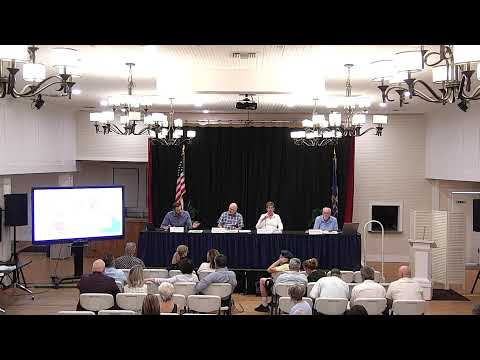
Residents packed the Aug. 28 Planning & Zoning meeting to oppose added density and higher-intensity commercial zoning in specific neighborhoods, citing repeated drainage and safety concerns; staff pledged sectional neighborhood meetings and to produce a revised draft for the next commission meeting.
A broad public hearing on Abita Springs' proposed comprehensive zoning map on Aug. 28 drew several hours of testimony from residents who warned that new mixed-use or commercial designations could worsen flooding, increase traffic on narrow roads and place commercial uses adjacent to long-established homes.
Consultants from Desireine and town staff explained the difference between the future land use map (a vision document adopted earlier) and the regulatory zoning map now under review. Staff said the draft map was iterative and emphasized many uses would be subject to conditional review by the planning commission.
Several residents identified specific concerns. Speakers from Allen Road, Abear Road, Minkler Street and other neighborhoods said the proposal's red commercial triangle at Highway 435 and Allen Road should be reduced to mixed-use or remain residential because the area floods and has documented high-crash locations. Scott Payne and others asked that gas stations be prohibited in mixed-use zones; multiple speakers asked that the town overlay the proposed zoning with FEMA/flood maps and to require drainage studies before rezoning.
One planning commissioner and multiple speakers urged the public to submit property-specific questions by email and said staff would run property-by-property comparisons of current versus proposed zoning when requested. Staff announced they will slow the process, host smaller neighborhood sessions focusing on specific map sections and present a revised draft at the next commission meeting; no final vote is planned in the near term.
Residents and business advocates offered competing rationales: some speakers urged more commercial development to broaden the town's tax base and create local jobs and services; others urged strict site-level protections for groundwater, wells and road capacity. Staff and consultants said the draft code adds conditional-use review to give local control and that many contentious uses are already permitted under current zoning; the current exercise seeks to clarify and in many cases reduce intensity in response to public feedback.
Next steps: staff will compile input from the Aug. 28 hearing, host sectional public meetings, refine draft language (including permitted/conditional use tables), and publish a revised map and code draft in advance of the next scheduled commission meeting for additional public review.