Get Full Government Meeting Transcripts, Videos, & Alerts Forever!
Get email alerts on the Coastal Mitigation topic
No spam. Unsubscribe anytime.
Commission approves consistency finding for Cinnamon Shore section; staff to require follow-up mitigation and permit numbers
Summary
After staff reported incomplete mitigation from prior work in Cinnamon Shore, the commission approved Plan 26-21 as consistent with the coastal plan on condition the applicant submits corrected exhibits, prior permit numbers, and a mitigation completion plan covering about 1,077 cubic yards of sand and roughly 1,600 sq ft of vegetation.
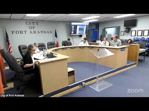
The Port Aransas Planning & Zoning Commission on June 29 approved a consistency determination for Beachfront Dune Protection Permit Plan 26-21, covering portions of Cinnamon Shore South where some mitigation work associated with earlier permitting was not completed as originally required.
Presenter Daniel told the commission the application responds to a deficiency in mitigation tied to earlier subdivision permits and that the applicant will reapply with two permits: one to finish mitigation compensation and one to confirm that current construction activity is covered by a no-dune permit. Daniel summarized the shortfall as roughly "about 1,077 cubic yards and I think 1,600 square ft of vegetation" that remain to be addressed in mitigation exhibits. He said staff photographed the site, staked the lot lines and will have a surveyor quantify dune volumes and prepared exhibits for the upcoming permit applications.
Commissioners questioned whether construction on a handful of lots created any violation of state rules; staff said the city's "no-dune" administrative process is a Port Aransas-specific requirement and that the General Land Office (GLO) had not found state-level violations for the work in question. Daniel said the city's follow-up was necessary because some mitigation commitments from an earlier permit had not been installed per the approved mitigation plan.
The commission approved a motion that the plan is consistent with the coastal management plan, and directed staff to require the applicant to supply previous dune-permit numbers, a list of lot and block numbers covered by the permit, clearer exhibit printouts (higher contrast/highlight), and a mitigation completion plan or documentation of onsite material. Commissioner Garrett moved for approval with those additions and Commissioner Steven Wilson seconded; the motion passed unanimously.
Staff said the city and the applicant expect the GLO to expedite review so the matter can be addressed at the upcoming City Council meeting if necessary. Staff will collect the required legal descriptions and mitigation documentation in advance of any council action.