Get Full Government Meeting Transcripts, Videos, & Alerts Forever!
Get email alerts on the Coastal Bank topic
No spam. Unsubscribe anytime.
Commission presses for clearer coastal-bank delineation on Jaclyn Road rebuild; hearing continued
Summary
The commission questioned calculations and coastal-bank delineation for a Notice of Intent to raise and rebuild a single-family home on Jaclyn Road, noting proposed increases within the 50- and 100-foot buffers and extensive mitigation plantings; commissioners requested overlays, clarified calculations, and continued the hearing to July 15.
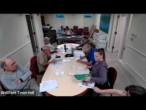
The Wellfleet Conservation Commission on June 17 heard a detailed Notice of Intent for property owner Jacqueline FA to demolish and reconstruct a single-family dwelling on Jaclyn Road and continued the matter to the commission’s July 15 meeting while requesting additional mapping and calculations.
A Reflex Design representative presented the application and noted that nearly the entire property lies within the 100-foot buffer to the coastal bank. Under the current plans, the existing altered area within the 100-foot buffer is listed as 3,355 square feet and the proposed structure within that buffer would total about 4,936 square feet. The presenter said the proposed work would move the dwelling slightly north so that no portion would be seaward of the existing resource but admitted the design includes an increase in disturbance inside the 50-foot buffer.
To offset increases within the buffer, the applicant proposes removing 1,389 square feet of existing lawn, eradicating approximately 1,950 square feet of invasive vegetation, and planting 169 native shrubs and 87 native grasses; the presenter said the areas would be stabilized with a biodegradable erosion-control blanket. "We're proposing to plant 169 native shrubs, 87 native grasses," the representative said when outlining mitigation measures.
Commissioners repeatedly pressed for a clearer delineation of the coastal bank and asked for an overlay showing existing conditions and the proposed footprint. One commissioner said the 50-foot area "is sort of a sacred area for us" and expressed skepticism that planting alone adequately mitigates additional structure in that zone. Another commissioner requested written justification for why parts of the parcel are mapped as coastal bank in MassMapper while other areas on the same site are not.
Commissioners also discussed related work that may be filed separately for revetment repair and stair relocation, noting that a separate Chapter 91 (or U.S. Army Corps) filing may be under state review. The commission emphasized coordination among filings so that access for nourishment and revetment work is clear and so mitigation plantings account for future nourishment activities.
Given outstanding questions — specifically the need for (1) a clear overlay of existing vs. proposed conditions, (2) formal coastal-bank delineation and supporting calculations, and (3) clarification of how proposed mitigation addresses added encroachment into the 50-foot buffer — the commission voted to continue the hearing to July 15 so staff and the applicant can provide the requested materials.
The hearing record will remain open pending submission of the overlay maps, revised calculations, and a written explanation of coastal-bank boundaries. The commission did not take a final vote on the application on June 17.