Get Full Government Meeting Transcripts, Videos, & Alerts Forever!
Get email alerts on the Wildland Urban Interface topic
No spam. Unsubscribe anytime.
Town hears county briefing on HB48 changes to wildland-urban interface and homeowner mitigation
Summary
County emergency and fire officials briefed the council on HB48 requirements to adopt a wildland-urban interface (WUI) boundary, explained the state 'high-risk WUI' mapping, and outlined home-hardening and mitigation recommendations plus proposed assessment fees for high-risk properties starting in 2027.
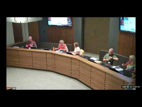
The Virgin Town Council on June 10 received a presentation from county emergency management and fire officials on recent state changes affecting the wildland-urban interface (WUI) and steps homeowners can take to reduce wildfire risk.
Emergency Manager Randy Hiller introduced the presenters and turned the briefing over to Chief Dave Harmon, who summarized the new statutory and code changes. “Municipalities are supposed to by January 1 of 2026, which has passed us, adopt a WOOI boundary for their municipality,” Harmon said, urging the town to complete a local boundary and publish links and resources on the town website.
Harmon described two related concepts: the locally defined WUI boundary and the state's high‑risk WUI polygons derived from satellite imagery and GIS analysis. He said the high‑risk designation is intended to prompt proactive mitigation, including “home-hardening and maintenance around your property with hazard zones,” and to guide assessments where allowed under the new law.
The chief said the state mapping will be available online and noted that assessments for properties inside a high‑risk area would begin in 2027. He summarized the tiered fee language included in the briefing materials: “in 2027, it's $20,000 square feet. 3001 square ft. 6,000 square ft will be $60. Anything 6,01 above will be $100,” language the council requested staff to verify and to present back in clearer numeric form.
Officials walked the council through mitigation guidance for homeowners: three home zones (immediate, intermediate, and outer) with recommended clearances, noncombustible roof and vent materials, and vegetation management (for example, limiting ladder fuels and spacing of trees). Harmon emphasized the role of structure-to-structure ember exposure in home ignitions and encouraged councils to adopt statewide boundaries while tailoring implementation locally.
Council members asked how the WUI boundary is set and whether the boundary can fall inside town limits; staff said municipalities specify the local boundary and the county/state subject-matter experts will validate it.
Next steps: staff and county experts said they would provide the proposed boundary maps and links to the state’s high‑risk layers for the council to publish on the town website and work with property owners on outreach. The council did not vote on any matter during the work meeting; any formal adoption of a WUI boundary would take place at a future regular meeting.