Get Full Government Meeting Transcripts, Videos, & Alerts Forever!
Get email alerts on the Transportation Safety topic
No spam. Unsubscribe anytime.
Morrisville receives progress update on Transportation Safety Action Plan; council presses for maps, signal fixes and pedestrian protections
Summary
Transportation staff presented progress on a USDOT-funded safety action plan that analyzed 2016–2023 crash data (4,569 crashes; 7 fatalities, 9 serious injuries). Staff proposed sustaining zero fatal/serious-injury crashes through 2035; council asked for point maps of fatal crashes, clearer countermeasure choices and signal‑timing fixes.
Brett Martin, the town’s transportation program manager, told the Morrisville Town Council on July 22 that the town’s Transportation Safety Action Plan — funded in part by a US Department of Transportation Safe Streets for All grant and developed with Central Pines Regional Council and consultant VHB — is on track for return to council in September with prioritized projects.
Martin said the consultant’s crash analysis (2016–2023) counted 4,569 reported crashes in Morrisville during that span, including seven with fatalities and nine with serious injuries. The data show an over‑representation of severe outcomes in angle crashes, run‑off‑road incidents and crashes involving vulnerable road users such as pedestrians and bicyclists. The town’s “high‑injury network” includes NC‑54, McCrimmon Parkway, Morrisville Parkway, Morrisville Carpenter Road, Aviation Parkway and Airport Boulevard near I‑40; only Airport Boulevard near I‑40 also appears on the larger Campo regional high‑injury map.
"The proposed recommended goal for Morrisville is to focus on keeping it at zero rather than reducing it by a certain amount," Martin said, describing a town goal of sustaining zero fatal and serious‑injury crashes through 2035.
Martin summarized public outreach conducted in June: roughly 50 in‑person contacts (music‑in‑the‑park and farmers market) and 28 online survey responses. Survey respondents ranked distracted drivers, red‑light/stop‑sign running, drivers not yielding and speeding among the top safety concerns; improving busy or confusing intersections and adding sidewalks, crosswalks and bike lanes were the most requested improvements.
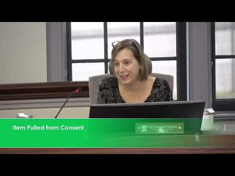
Council members pressed staff for additional, more granular evidence and clearer options. "I would like a map where it shows specifically the incidents or the locations for the fatalities and the high injuries rather than just these red lines," Council Member Pender said, stressing that some fatalities occurred mid‑block and not at intersections. The presenter agreed to look for point‑level crash data and to share methodology details from VHB.
Several members of the council emphasized pedestrian protections, high‑visibility crosswalks and traffic‑signal timing. "The number one issue we have is the traffic lights and the timing of the traffic," said Tim Barl, urging the town to test signal timing as a near‑term safety lever. Other council members advocated for protected pedestrian crossings at greenway intersections and more education about hawk/beacon crossings.
Martin said the policy review stage is nearly complete and that the next phase — developing specific countermeasures and a prioritized implementation timeline — will be informed by the outreach feedback. Staff plan a second public touchpoint this summer to present proposed strategies before the council considers final plan adoption in September.
What’s next: staff will provide the consultant’s methodology and, if available, point‑level crash locations for fatalities/serious injuries; staff will return with a package of proposed countermeasures and a draft implementation timeline for council consideration before adoption.