Get Full Government Meeting Transcripts, Videos, & Alerts Forever!
Get email alerts on the Geospatial Infrastructure topic
No spam. Unsubscribe anytime.
Committee backs moving Georgia geospatial advisory council to Department of Community Affairs; bill given 'do pass'
Summary
A state committee voted 9–4 to recommend a bill that would move Georgia’s Geospatial Advisory Council to the Department of Community Affairs and support standing up a Geospatial Information Office to coordinate statewide GIS datasets; the bill itself carries no dedicated state funding.
A state legislative committee voted to recommend a bill that would move the Georgia Geospatial Advisory Council from the Environmental Protection Division to the Department of Community Affairs (DCA) and advance plans for a statewide Geospatial Information Office. The panel approved the measure on a 9–4 vote and said it will file a report forwarding the bill for further consideration.
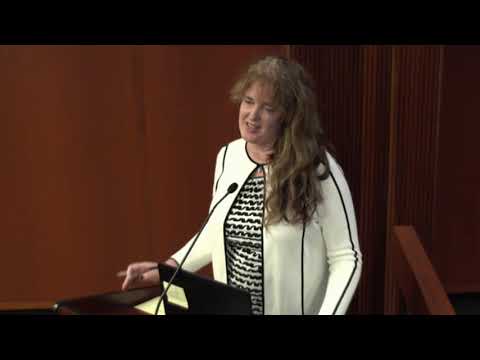
Susan, who identified herself as the acting State Geospatial Information Officer, told the committee the office’s role is to coordinate geospatial information — ordinary government data with location attached — across cities, counties, regional commissions and state agencies. "Geospatial data is just data... you just put the word spatial in front of it which means that you add location information to it," she said, describing uses that range from emergency response and infrastructure planning to precision agriculture.
Committee members pressed Susan on funding, staffing and privacy. She said the current position was initially supported by a 24‑month U.S. Economic Development Administration grant and regional commission matching funds; the grant period has been extended through June. She also cited a separate U.S. Geological Survey award of "about two hundred and fifty thousand dollars" to fly LiDAR for the state. "I'd like to start with two [staff] to get things going," Susan said, adding other states’ programs range from about 10 to 25 staff as programs mature.
Susan argued statewide coordination would reduce duplication — for example, many local offices each creating parcel and address data — and save money by "building it once and maintaining it over time." She said the office would use technology to roll up local data for regional and state use while preserving local ownership of raw data.
Lawmakers raised privacy concerns about high‑resolution imagery and unmanned aerial vehicle data. Susan said the program would adhere to federal and national standards and to Georgia Technology Authority cybersecurity policies. She pointed to federal bodies such as the Federal Geographic Data Committee and the National Geospatial‑Intelligence Agency as sources of standards and described ongoing work to ensure data quality and interoperability across state lines.
Members also asked about sustainability and revenue models. Susan pointed to examples in other states that use narrow transaction fees or dedicated 9‑1‑1 surcharges to fund geospatial programs, but she noted the current bill creates only the advisory council and contains no state appropriation. Committee discussion included historical context: an earlier attempt to reconstitute a similar council (SB11) was vetoed in 2013 in part because of funding concerns.
After questions and discussion the chair called for a motion; the committee voted to report the bill favorably by a tally of nine yeses and four no's. Committee minutes state the panel will file its report and pass the measure along; the bill’s next steps will depend on subsequent budget and appropriation decisions.
The committee hearing offered officials a chance to press for funding and implementation details; supporters emphasized that a coordinated geospatial program could improve census preparations, emergency planning and interagency data sharing, while some members urged clarity on long‑term funding and privacy safeguards.