Get Full Government Meeting Transcripts, Videos, & Alerts Forever!
Get email alerts on the Eis Overview topic
No spam. Unsubscribe anytime.
Spokane County extends DEIS comment period, outlines three growth alternatives for urban areas
Summary
Spokane County Planning staff released a draft environmental impact statement and extended the public comment period to July 11; staff described three alternatives (no-action, infill/high-density, and historic-growth-pattern) and said a preferred alternative will be discussed with the planning commission and county board in June–July.
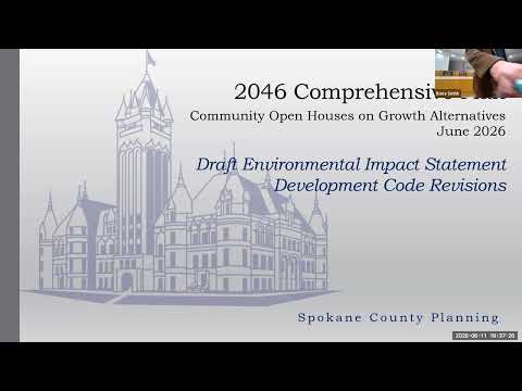
Scott Chesny, a planner with Spokane County Planning, opened the June open house to review the county’s draft environmental impact statement and concurrent proposed development-code revisions affecting urban growth areas.
Chesny said the DEIS is meant to identify likely negative environmental outcomes from future development and to frame mitigations and code changes to guide where growth should occur. "The DEIS process is designed to understand essentially negative environmental aspects of development in the county and... to identify them and then create mitigations," he said. The county has modeled three alternatives: a no-action alternative that assumes no code changes; an infill-focused alternative using higher net densities (staff used roughly 13 units per net acre for some infill calculations); and a historic-growth-pattern alternative that reflects recent market trends at about 4.5 units per acre for predominantly single-family housing.
Why it matters: The alternatives bracket likely outcomes for land need, infrastructure demands and environmental impacts across a 20-year planning horizon. Chesny said the DEIS and its appendices were recently posted and the public-comment period has been extended to July 11. He said staff will brief the planning commission on June 25 and the Board of County Commissioners on July 6 to discuss a recommended preferred alternative.
Supporting details: Chesny described how transportation, sewer and water serviceability guided parcel prioritization in UGA maps and pointed to varying priorities across UGAs such as Airway Heights, Alcat and Deer Park. He said an initial accounting of owner interest produced about 3,000 acres of potential land offered for inclusion in UGAs; staff estimate that a mixed approach of infill plus some expansion could leave roughly 600 acres of new UGA land needed beyond vacant land already inside UGAs under one scenario. Chesny tied those acreage estimates to the county’s planning benchmark of roughly 104,000 additional residents over the full planning horizon (2022–2046), noting pipeline units and timing affect the practical remaining housing need.
What’s next: The DEIS comment period closes on July 11; staff will summarize comments and bring a preferred alternative recommendation to the county’s planning commission and Board of County Commissioners. The county emphasized that maps and critical-areas findings in the DEIS will inform later land-use chapters and code changes.
Ending: Staff encouraged written comments during the notice period and said further land-use details and full draft zoning matrices are posted online for review.