Get Full Government Meeting Transcripts, Videos, & Alerts Forever!
Get email alerts on the Property Survey topic
No spam. Unsubscribe anytime.
Board signs warrant to pay surveyor after disputed parcel acreage
Summary
The board agreed to hire a surveyor to resolve a disputed boundary for 'property 19' after conflicting acreage reports (1.9 acres in county records vs. a surveyor's 2.96 acres); staff will contact the landowner to seek agreement.
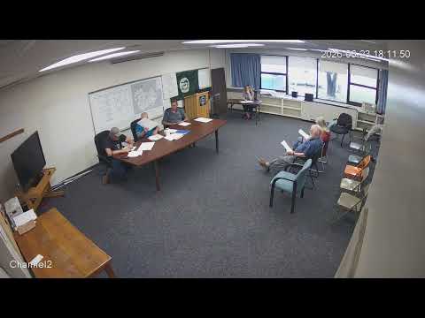
The Baldwin Town Board voted to authorize payment for a survey to resolve a contested corner on a town parcel known during discussion as 'property 19.'
Members reviewed multiple deeds and survey results; county records were reported at 1.9 acres while a surveyor working for the town calculated about 2.96 acres and could not immediately find a historic corner axle. A board member said the surveyor may return to attempt to locate the axle and that the board had signed a warrant to pay for the survey work.
Board members directed staff to contact the landowner (referred to in the discussion as Freely) to seek agreement on a boundary before finalizing any legal instrument. Members also asked the surveyor to show a penciled-in seasonal drainage line on the map to clarify how runoff affects lot use.
No legal instrument or written settlement was completed at the meeting; the board's action was limited to authorizing payment and directing staff to pursue owner contact and possible legal next steps.