Get Full Government Meeting Transcripts, Videos, & Alerts Forever!
Get email alerts on the Land Use topic
No spam. Unsubscribe anytime.
Planning commission unanimously recommends Analopee Ridge at Bull Hill PUD phase 1
Summary
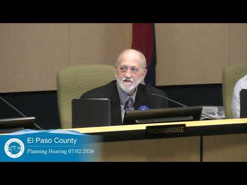
On July 2, 2026 the El Paso County Planning Commission unanimously recommended approval of PUD SP255 (Analopee Ridge at Bull Hill, phase 1), a 165‑acre development proposing 472 single‑family lots, open space and a school site; the item will be forwarded to the Board of County Commissioners.
The El Paso County Planning Commission on July 2 unanimously recommended approval of PUD SP255, an application to convert 165 acres to a planned unit development and to approve a preliminary plan for Analopee Ridge at Bull Hill, phase 1.
Kylie Bagley, the project manager for PUD SP255, told commissioners the preliminary plan illustrates 472 single‑family lots, approximately 36.4 acres of open space and about 28.81 acres of land to be dedicated for public right‑of‑way, and that the plan includes a school site and a utility site. "The preliminary plan illustrates 472 single family lots and tracks," Bagley said during the staff presentation.
The commission discussed density and infrastructure. Staff described the proposed gross density as about 2.88 dwelling units per acre; Commissioner Whitney asked whether the net density would be closer to five units per acre, and staff agreed the net figure could be higher. Charlene Durham of El Paso County Engineering said the site drains north to south into the east tributary of Jimmy Camp Creek, identified a FEMA floodplain along the west side and described a proposed detention feature (referred to in materials as "pond C") at the south end that will provide water quality and detention. Durham said the applicant has an approved CLR and that the FEMA floodplain will be updated after construction.
James McMurray, senior planner at Matrix Design Group and the applicant’s representative, displayed a detailed sketch plan that highlights the school site, a proposed future multifamily area in a northwest corner, about 10.88 acres cited for stormwater detention in the southwest, planned trails and pocket park space adjacent to the school, and buffering near a nearby substation.
On transportation, staff said Meridian Road will be extended from Bradley Road to provide a second access and to connect with Prairie Song Drive; internal roads will be county‑owned and subject to El Paso County road impact fees. A trip estimate recorded in the meeting transcript reads as "4,26 daily trips"; the precise figure was not specified in the record.
No members of the public spoke for or against the application during the public comment period. Commissioner Murray moved approval in accordance with the attached resolution with six conditions and five notations and with a finding of sufficiency for water quality, quantity and dependability; the motion was seconded and passed by unanimous roll call. The commission’s recommendation will be forwarded to the Board of County Commissioners for consideration.
The transcript contains several inconsistent spellings and plat labels that commissioners asked staff and the applicant to clarify, particularly the labeling of the detention pond tract on plat sheets. The applicant and staff were asked to ensure the pond tract and associated ownership and maintenance agreements are clearly reflected in materials submitted to the Board.