Get Full Government Meeting Transcripts, Videos, & Alerts Forever!
Get email alerts on the Comprehensive Plan Update topic
No spam. Unsubscribe anytime.
COG presents comprehensive-plan update as council weighs rapid subdivision pipeline and infrastructure concerns
Summary
Central Midlands COG outlined draft population and land-use sections for Batesburg-Leesville's 10-year comprehensive plan update, warning of long-term population decline while councilmembers flagged roughly 500 units in the near-term pipeline and pressed for zoning, traffic and affordability safeguards.
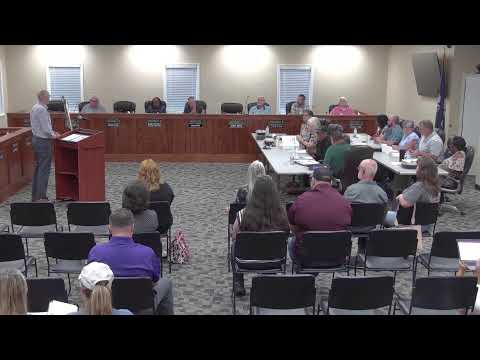
Central Midlands Council of Governments (COG) planners presented draft sections of Batesburg-Leesville’s comprehensive-plan update and asked the town’s planning commission and council to weigh in on population and land-use choices that will guide zoning and development for the next decade.
COG consultant Phil Wler said the town’s official Census counts show a long-term population decline, and noted that if current trends persist the town could have roughly 5,100 residents by 2040. He described the town’s 2020 median household income as about $50,000, estimated overall poverty at about 17 percent and said children under 18 face higher rates of poverty. "We are required to do this as the town and it's supposed to be updated every 10 years," COG project lead Gregory Sprouse told the joint session, explaining why the population and land-use elements were the evening’s focus.
The nut graf: Planners urged the town to use the comprehensive plan to create a future land-use map that directs new commercial activity toward historic downtown cores, concentrates new housing where infrastructure already exists, and preserves significant undeveloped and agricultural parcels. Councilmembers and commissioners, however, urged an approach that addresses near-term development pressure: several participants said about 500 housing units are currently pending or in the planning pipeline and could change demographic and infrastructure needs much sooner than decade-long projections.
COG’s land-use presentation summarized current conditions: single-family uses account for roughly 30 percent of municipal land, multifamily about 1–2 percent, industrial about 5 percent, public/institutional about 10 percent and undeveloped/forest/agriculture about 45 percent. Sprouse explained how the plan’s future land-use categories (downtown development districts, general commercial along corridors, residential preservation/infill, mixed-use, and parks/open space) can be translated into zoning updates so developers and staff have clearer expectations.
Council and commission members pressed on several specifics. One member said the planning board currently has about 500 units under review — "3 to 5 year buildout" — and argued that this near-term supply could produce rapid growth and traffic impacts that the Census-based decline projection does not capture. "That’s a very big indicator that we currently are already going to be looking at real growth here in the short term," the member said, asking how the plan can help the town guide where and how that growth occurs.
Others raised equity and fiscal concerns: several speakers worried that rising property values and tax assessments could squeeze long-term and senior residents who are not fully protected by the town’s homestead exemption (noted in discussion as last changed in 1997 and set at $50,000). Councilmembers asked how to balance property-owner rights with community goals, and how the plan could recommend tools that would limit displacement without overreaching municipal authority.
Traffic and infrastructure were recurring themes. Commissioners and planners discussed past studies about one-way pairs on primary corridors, the prohibitive cost and community disruption of widening roads, and lower-cost alternatives such as adaptive signal timing and better use of the town’s existing grid network to diffuse congestion. Planners emphasized pre-development review teams and clear ordinance language as administrative tools to assess whether proposed subdivisions can be accommodated by existing infrastructure and stormwater systems.
Participants also discussed potential reuses for an industrial parcel in town (about 13.6–14 acres), including the possibility of a solar farm; speakers noted that adopting a county solar-farm ordinance with large setbacks could make a solar project on that site infeasible. Commissioners asked staff to consider ordinance changes where immediate issues exist and to recommend zoning clarifications that define "developable area" for density calculations to avoid costly legal disputes.
Sprouse said the COG plans to deliver the full draft by walking commission members through the plan in chunks (three elements at a time). "We’ll work at your schedule as to how fast or slow you want to move on this," he said, pointing to draft population, resilience and priority-investment elements ready for commission review.
The session concluded with a routine motion to adjourn; the meeting closed without objection.
Ending: The planning commission will receive drafts of the population, resilience and priority-investment sections for review; commissioners and council members asked staff and the COG to return with recommended ordinance language and implementation tools that address near-term subdivision pressures, traffic mitigation and protections for vulnerable residents.