Get Full Government Meeting Transcripts, Videos, & Alerts Forever!
Get email alerts on the Safer Streets topic
No spam. Unsubscribe anytime.
JTC launches regional Safer Streets mapping tool and seeks local input
Summary
The Pioneer Valley joint transportation committee updated members on the Safer Streets and Roads for All grant work, said a consultant team has begun stakeholder engagement and urged municipalities to use an online mapping tool to nominate unsafe locations and project ideas.
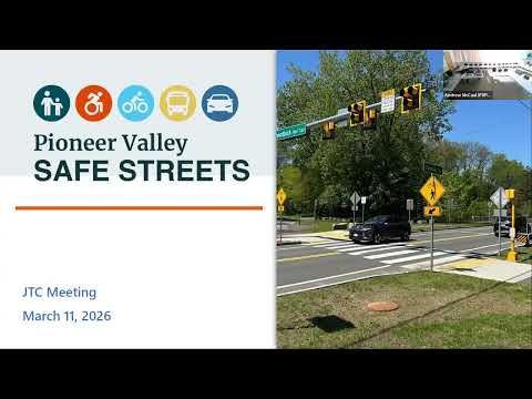
Gary Brew, director of transportation planning, told the joint transportation committee on March 11 that the Pioneer Valley’s regional Safer Streets and Roads for All program has moved into public engagement with a consultant team in place. “We have obtained the services of a consulting team led by BHB, and also working with IBI Group,” Brew said, and staff have posted an online mapping tool where residents and municipal staff can “drop a pin” to flag locations that need attention.
Brew said the consultant has updated the regional Vision Zero statement approved by the MPO in February and is preparing an updated regional safety compass. He said staff expects a draft regional safety action plan in early June and that having a conforming safety action plan will make the region eligible for future federal funding under the program.
The presentation stressed outreach: Brew said turnout at a February public meeting was strong but that most pins are coming from the I‑91 corridor. “We’re not getting a lot beyond the I‑91 corridor — this is a real opportunity for you to address the specific locations in your community that you’d like to see addressed,” Brew said, urging members to promote the tool and submit local project ideas or locations.
Brew noted five communities have their own demonstration funding under the program — Springfield, Chicopee, Holyoke, Westfield and Ware — and asked members to continue sharing local recommendations even if they fall inside those five municipalities, so PVPC staff can coordinate rather than duplicate work.
The committee was told the consultant team will return with a progress update at the April JTC meeting. Brew offered to take follow-up questions offline and to direct members to the PVPC website for the mapping tool and supporting materials.
The Safer Streets update concluded with staff asking members to publicize the mapping tool and to send potential locations and project suggestions to PVPC so they can be included in the draft safety action plan and help secure future federal grant opportunities.