Get Full Government Meeting Transcripts, Videos, & Alerts Forever!
Get email alerts on the Flood Mitigation topic
No spam. Unsubscribe anytime.
Rutherford council adopts ordinance to adopt updated flood-hazard maps; staff to televise storm drains for repairs
Summary
The borough council voted to adopt a new ordinance incorporating updated flood-hazard maps and designating a floodplain administrator; borough staff said they will televise parts of the stormwater system to locate repairs, and residents urged action noting thousands of properties could face heightened flood risk over coming decades.
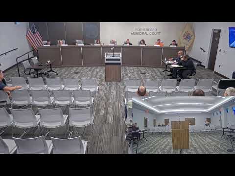
Rutherford — The Mayor and Council on May 27 voted to adopt an ordinance creating a new Chapter 37 to adopt updated flood-hazard maps and to designate a floodplain administrator, a measure supporters said will align the borough code with current flood-risk information.
Councilwoman Delray Con moved to pass the ordinance on second reading; after a short public-comment period in which no one spoke specifically about the ordinance, the council held a roll-call vote. Council President McGawan, Councilwoman Delray Con, Councilman Cotron and Councilman Erico and Councilman Guzman voted yes; Councilman Kley recorded an abstention. The ordinance passed and will be advertised as required by law.
The measure arrives amid ongoing local efforts to inspect and repair stormwater infrastructure. Mayor Niato asked borough staff for an update; ‘Bob’ (borough staff) said the borough is “soliciting quotations right now to televise the entire storm water system in that area to identify any cracks, breaks” and to make spot repairs or plan for larger projects depending on findings. He identified two priority areas: the Carneer/Eninsley drainage area and the Orient Way area near the train station, where first-floor flooding has affected tenants.
Public speakers pressed the council to move on flood risk and funding. Brian Hansen Harding of the Rutherford Green Team urged the council to back the New Jersey Climate Super Fund Act and said, “apparently there are 1,161 properties in Rutherford at a risk of flooding over the next 30 years, which represents 21% of all properties in Rutherford,” citing an online flood map resource.
Why it matters: Adopting mapped flood hazards and naming a floodplain administrator helps the borough to align permitting and mitigation planning with identified flood exposure and can be a precondition for some state or federal grant programs. The televised stormwater inspection the borough is pursuing could produce repair priorities that affect near-term capital spending.
What’s next: Borough staff will solicit and review quotations for CCTV inspection of the storm system and report back with findings and repair recommendations. The ordinance will be advertised in accordance with law; details about any subsequent funding, timelines for repairs, or grant applications were not specified at the meeting.