Get Full Government Meeting Transcripts, Videos, & Alerts Forever!
Get email alerts on the Stormwater topic
No spam. Unsubscribe anytime.
Consultants present Pacolet stormwater master plan, flag access problems and priority projects
Summary
Engineering consultants presented a stormwater master plan that maps and models the town's drainage, identifies hotspots, and recommends CCTV inspections and a scored capital improvements matrix to prioritize projects, especially in the historic Pacolet Mills area.
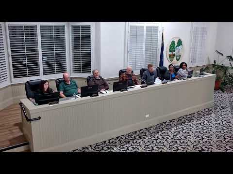
Consultants from Goodwin Mills and Kaywood presented Pacolet’s stormwater master plan to the Town Council, summarizing 18 months of field mapping, inspections and hydrologic modeling and offering a prioritized set of capital projects.
“We’ve been out doing a lot of data gathering,” said Ed Damaso, the project lead for Goodwin Mills and Kaywood, describing an inventory team that inspected more than 300 storm structures, roughly 6 miles of pipes and about 23 miles of ditches. The study subdivided the town into seven drainage basins and modeled system performance for a 25-year, 24-hour storm (about 6.52 inches for this area), using standard hydrologic and hydraulic methods.
Damaso and colleague Chris Talison highlighted recurring problems in the Pacolet Mills historic drainage system: many inlets are narrow L-shaped openings under sidewalks that block access and trap sediment. “Most of these trapezoidal channels are covered by sidewalks; the inlets are so small there’s no way to get in there to see the pipe size or condition,” Damaso said, noting that limited access makes inspection and maintenance difficult.
The consultants recommended targeted CCTV (televise) inspections and cleaning in the mill-area channels before considering replacement. They described a prioritization matrix that scores candidate projects on 11 factors—ownership, structural flooding risk, community-scale benefit, presence of planned resurfacing and connections to other projects—and produces high/medium/low priority groupings rather than a single numeric rank.
On funding and responsibility, the consultants and Town Administrator Patrick told council members that state-owned roads or drainage features would generally get a lower priority score in the town’s matrix and may require coordination with S.C. Department of Transportation. The presentation identified potential funding avenues such as Rural Infrastructure Authority grants, DOT CTC funds and other bond programs; Damaso said the matrix can be used to match grant-ready projects to likely funding sources.
Town leaders pressed for practical next steps. Council members asked whether the town could complete certain repairs without DOT cooperation on state-owned streets and raised Royal Oak as a recurrent flood location; consultants said engineering design options could include dry swales or detention areas but that topography in some places limits where runoff can be sent.
The consultants emphasized that the master plan is a living document: priorities can shift as funding becomes available or new problems emerge. Next steps include final QA/QC edits and incorporation of resident feedback before the plan is finalized and used to program capital work.