Get Full Government Meeting Transcripts, Videos, & Alerts Forever!
Get email alerts on the Market Haven Conversion topic
No spam. Unsubscribe anytime.
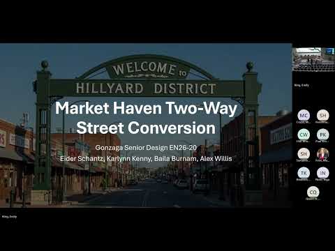
Gonzaga students propose two‑way Market–Haven conversion to slow traffic and improve walking and biking
Summary
Gonzaga University senior design students presented a Market–Haven conversion study proposing reconfigurations — including restoring the grid, signalized intersections or roundabouts — to reduce speeds, add pedestrian and bike facilities, and create community space; staff and commissioners pressed for parking, ADA and trail‑right‑of‑way details.
Gonzaga University senior design students presented a traffic‑calming and corridor redesign study for the Market–Haven couplet, proposing conversion to two‑way traffic and a package of pedestrian and bicycle improvements aimed at slowing vehicles and improving safety.
The students, who said their sponsor is Jesse Bank at the Northeast Public Development Authority, described community outreach (neighborhood council and business focus groups), speed and crash data, and four design alternatives — no build, intersection control (restriping to two‑way with signal or roundabout), a restore‑the‑grid reconstruction, and a localized feasibility study at Wellesley–Market. "Our goal is to calm traffic as well as to improve pedestrian and cyclist safety to support a balanced, connected, and vibrant community corridor," Alex, a project presenter, said.
Why it matters: students reported measured speed data that supports community concerns. On Market Street the 85th‑percentile speed was about 26 mph where the posted limit is 20; on Haven Street the 85th‑percentile was about 39 mph with a posted limit of 30, an almost 10‑mph gap that the team said validates the need for calming measures. The team also presented crash heat maps showing intersection collisions as a frequent contributor to crashes along the corridor.
Design and tradeoffs: recommended elements for Haven include narrowing drive lanes from 18 to 12 feet, adding an 8‑foot parking lane, widening and repaving sidewalks, planting street trees, adding pedestrian‑scale lighting, and installing rapid‑flashing beacons at Queen & Haven and Diamond & Queen. On Market the team proposed temporary parklets (city‑approved since 2017) to create outdoor seating, vendor or public‑space uses, and a Class 2 bike route on Queen Avenue to improve east–west connections. The students said the parking analysis showed a potential loss of about 38 spaces and gain of about 30 in the study core, with 214 total spaces identified in the broader area; they noted some streets (Green Street) are informally used for parking but must remain clear for emergency access.
Responses and next steps: commissioners asked about historical reasons for wide lanes, the feasibility of chicanes and other geometric calming, and modeling calibration in Vissim and Synchro. Shauna Harshman of WSDOT asked whether a proposed southern roundabout would conflict with right‑of‑way near the Children of the Sun Trail; the students said they would verify the alignment and provide larger images. Presenters said they will complete the model analyses, hold a final community meeting on April 9, and deliver a final report (including traffic impact analyses and a recommended alternative) to sponsor Jesse Bank and the city.
The commission thanked the student team and asked staff to post the final materials online. The presentation generated extensive technical questions but no formal action; staff will collect community feedback and include the project in future planning steps.