Get Full Government Meeting Transcripts, Videos, & Alerts Forever!
Get email alerts on the Comprehensive Plan topic
No spam. Unsubscribe anytime.
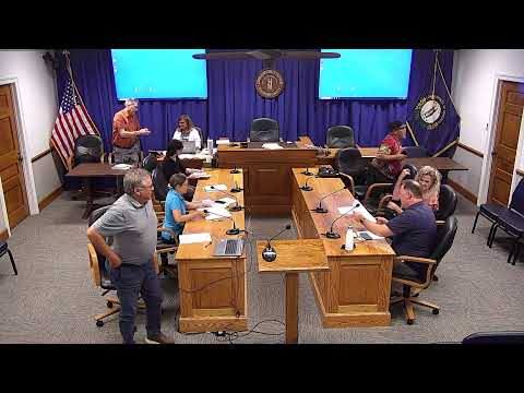
Planning commission reviews Draft 7 of comprehensive plan, debates vision statement and developer obligations
Summary
Woodford County Planning Commission reviewed Draft 7 of comprehensive plan chapters 2–4, moved to verify data sources and maps, and debated adding a vision statement and stronger language linking plan corridors to required developer contributions; staff will draft a "how to use this plan" intro and take chapters 2–3 to public meetings this summer.
The Woodford County Planning Commission reviewed Draft 7 of the county’s comprehensive plan chapters and directed staff to finalize source citations, add explanatory footnotes to key maps and prepare public outreach materials.
At the meeting the chair (S1) said the edition being circulated is "draft 7 of this chapter" and praised staff for verifying chart sources after prior drafts omitted or misidentified them. Chair S1 emphasized that the population projections in Table 2‑13 — the 2020 Versailles population was cited as 10,347 and the county total as about 26,486 — will be a foundation for future land‑use and service planning.
Staff member S2 proposed adding an introductory vision statement and a short "how to use this plan" page aimed at ordinary readers. S2 read a draft vision that opened: "Woodford County will preserve its rural heritage and responsibly manage growth by fostering diverse economic opportunities while respecting community character and environmental stewardship, creating a resilient, sustainable community for current and future generations." Committee members discussed whether the statement should be written in the present tense ("preserves") or future tense ("will preserve") and where to place it — as a standalone page, in chapter 1, or as a preface.
The commission also discussed the limits of a comprehensive plan versus the authority of zoning and subdivision regulations. S1 noted the plan can identify corridors and priorities but that enforcement or developer obligations typically come through subdivision regulations, zoning ordinances or specific conditions on approvals. "If it's been identified in our master plan and we want a trail to go east out US‑60 and someone comes in near there, we would expect them to build their 400 feet of it or contribute to it financially," S1 said, underscoring that additional regulatory language will be required to compel developer contributions.
S2 and others asked staff to draft clearer guidance tying chapters 4 (transportation) and 5 (land use) to the local regulatory tools that would implement corridor or sidewalk requirements. The commission agreed to circulate chapters 2 and 3 for public meetings this summer as draft materials and to return to chapter 4 for more substantive work.
The chair also told members the commission had received a letter from an attorney disputing how a property was characterized on the draft map; the property owner asked for an opportunity to present at a future meeting. S1 said the packet revisions and public outreach were likely to prompt similar property‑specific concerns and that staff should expect that level of engagement.
The commission asked staff to: correct and footnote data sources, add a readable "how to use this plan" intro, refine the vision wording for committee review, and prepare materials for multiple public meetings. No formal vote was recorded.