Get Full Government Meeting Transcripts, Videos, & Alerts Forever!
Get email alerts on the Economic Development topic
No spam. Unsubscribe anytime.
Crisfield unveils a citywide project map showing roughly $313 million in planned and proposed investments
Summary
Former councilwoman Charlotte Scott and GIS partners presented a one-sheet and web viewer mapping 17 major and five smaller projects across Crisfield — totaling roughly $313 million in planned or proposed investments — intended as a public-facing tool for residents, partners and funders.
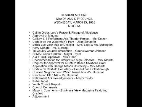
Former councilwoman Charlotte Scott and project partners presented a draft "bird’s-eye" project map to the Crisfield Mayor and Council on March 25 that catalogs major planned, proposed and underway investments across the city.
Scott said the map grew from a personal effort to gather projects and that the draft lists 17 large projects and five smaller ones. She read through major entries and estimates: TidalHealth ($25.6 million), northern FEMA flood mitigation (~$36 million), southern FEMA mitigation (~$35.6 million), Summers Cove improvements (~$30 million), a $100 million 7th Street destination project, a $5 million solar project, $12 million Wellington Cove townhouses, wastewater systems ($13.9 million) and others. Scott described the $313 million figure as a sum of planned and proposed investments drawn from project leads and available documentation.
Mary Buffington of the East Central Regional GIS Cooperative (Salisbury University) demonstrated a draft paper map, a web viewer with clickable project points and the plan for a large wall map. Buffington said the mapping effort was funded via the Rural Maryland Prosperity Investment funds distributed through regional councils, and the regional GIS cooperative provided the mapping product at no fee to the city.
Council members and county partners welcomed the visualization as a tool for outreach and grant-seeking. The mayor cautioned that the packet distributed to council was a draft and requested corrections before public distribution. Staff said the web viewer will include additional project details and that a more detailed internal document exists for each project.