Get Full Government Meeting Transcripts, Videos, & Alerts Forever!
Get email alerts on the Mobility Prioritization topic
No spam. Unsubscribe anytime.
Planning commission coalesces around a ‘loop’ of bike lanes and sidewalk widenings as top mobility priority
Summary
The commission reviewed a public survey with roughly 460 respondents and moved toward prioritizing a connected loop—combining widened sidewalks and bike‑lane improvements—plus targeted crosswalk and parking‑area fixes; staff will refine a top‑five list and deliver a memo for the August council packet.
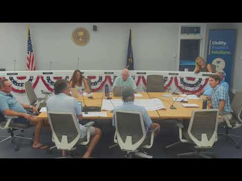
The Isle of Palms Planning Commission on July 8 focused on narrowing mobility projects to a short list the city can pursue for grants and short‑term funding.
Chair opened the discussion and staff explained that public outreach produced a mapping exercise used to score candidate projects; Presenter said, “I believe we had about 460 some people take the survey,” and described a scoring rubric that weighted segments by the number of comments to identify recurring safety and connectivity issues. Staff asked commissioners to either finalize individual top‑five lists tonight or allow staff to aggregate scores and return a refined set for the commission’s approval.
Why it matters: commissioners emphasized picking projects that are both visible to the public and feasible to deliver. Several members argued the most constructive approach is a “complete streets” solution that combines sidewalk widening with bike lanes rather than placing bicycles directly in fast vehicle lanes on Palm Boulevard. Chair and other commissioners recounted near‑misses between vehicles and cyclists on Palm Boulevard to illustrate safety concerns.
Discussion and consensus: Commissioners debated whether to direct cyclists to Waterway Boulevard or to widen sidewalks on the Palm corridor so family riders can travel safely. Multiple members favored combining item C4 (sidewalk widening) and item A6 (bike‑lane improvements) into one prioritized project for the loop that would connect the S‑curve, the connector and segments north and south. Staff recommended grouping adjacent projects (including several smaller crosswalk or striping fixes) so the commission can present a realistic set of priorities rather than only multimillion‑dollar projects.
Specific problem spots raised included the 20th/21st Street area near the Harris Teeter and the Harris Field approach, where pedestrians, golf carts and vehicles converge; commissioners proposed raising crossing visibility with elevated crosswalks or flashing beacons and discussed golf‑cart parking amenities. Staff noted lower‑cost actions — restriping bike lanes and adding wayfinding signage — could be quick wins before larger capital investments.
Next steps: staff will refine the commission’s direction, group related projects for phasing, and prepare a memo and package for the August city council meeting so councilors see the commission’s recommended priorities and associated notes on feasibility and likely funding approaches. The commission agreed the loop plus connector approach likely yields approximately five priority candidates that staff can cost and phase.