Get Full Government Meeting Transcripts, Videos, & Alerts Forever!
Get email alerts on the Gis Mapping Tools topic
No spam. Unsubscribe anytime.
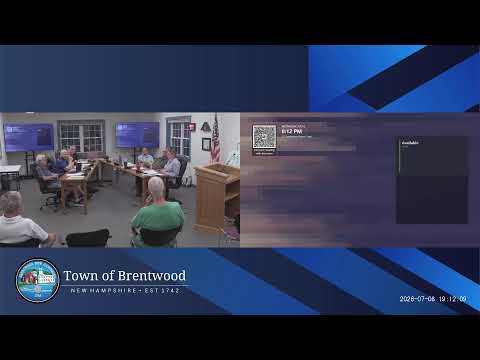
Presenter demonstrates Granite View mapping tools to Brentwood conservation commission
Summary
At the commission's meeting, Sarah Callahan led a demonstration of Granite View and related New Hampshire mapping tools, showing members how to view wetlands, LiDAR, soils and wildlife layers, create shape files, and export printable maps for conservation planning.
Sarah Callahan demonstrated Granite View, the state clearinghouse for geographic data, during the Brentwood Conservation Commission meeting, showing how members can use aerial imagery, LiDAR and layer tools to evaluate wetlands, soils and wildlife habitat on local properties. Callahan walked the group through zooming to “Brentwood,” toggling the New Hampshire parcels mosaic, viewing color-infrared imagery and switching on LiDAR bare-earth contours to identify features such as stone walls, ponds and potential vernal pools.
Callahan said Granite View is managed through the University of New Hampshire and can be supplemented by the NH DES One-Stop and a coastal viewer that includes some coastal-specific layers. She cautioned that many layers are model-based and urged members to “always go out and check on the ground,” noting that the maps indicate potential features but are not a substitute for site visits.
The presenter demonstrated how to create a polygon to estimate acres, explained layer drawing and label toggles, and showed how to export or print maps with legends and annotations for use in site reviews and conservation planning. She also described limitations: some layers do not appear until certain map scales, legends may not load reliably in the live viewer, and the conservation lands layer can lag by about a year after a town submits updates. Callahan offered a short video and handout and said she would send links and follow-up materials to the commission.
Commissioners asked practical questions about submitting local data to Granite View and the update cadence. Commissioners said town data is often submitted in batches and sometimes coordinated through UNH students or regional technical committees; a member said Rob Prime had volunteered to submit some parcels.
The commission discussed using the tools to identify wetlands, farmland soils, drainage class and representative slope to inform site-plan reviews and trail planning. Callahan noted the wildlife action plan and other datasets can highlight higher-impact areas and indicated the combined use of color-infrared, soils and LiDAR can help identify probable wetlands and habitat features. She recommended members use the viewer to produce maps for outreach, trail design and conservation easement assessments.
The commission agreed to follow up: Callahan will send the video and resources, and members will test the tools on properties such as the South Road parcel and the recently acquired Nooney Monger site. The presentation ended with several members thanking Callahan and noting the volume of useful functionality they could explore further.