Get email alerts on the Flooding And Drainage topic
No spam. Unsubscribe anytime.
Consultants present Worcester drainage master plan and 2D flood model, propose nature-based solutions
Summary
Weston & Sampson told the Green Worcester advisory committee on June 15 that a two‑dimensional integrated flood model and drainage master plan will help the city prioritize capital projects and nature‑based flood mitigation; consultants described monitoring, pilot school concepts and next steps for a flood‑viewer and O&M plan.
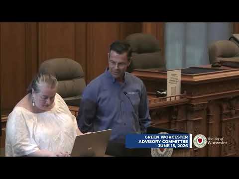
Weston & Sampson consultants presented an integrated drainage master plan and a two‑dimensional flood model to the Green Worcester advisory committee on June 15, saying the tool will help the city identify where flooding will occur, how deep it will get and which green or gray interventions provide the best benefit for cost.
"This model gives you what's called a rain‑on‑grade model — it shows where it floods, how far and how deep," said Jenny Moonen of Weston & Sampson. She said the 2D model builds on the project's 1D pipe mapping and adds surface dynamics so planners can see when flooding touches houses or roadways and how fast water moves.
Frank Arcapinti, also with Weston & Sampson, said the effort began with updating the city’s existing drainage mapping and field‑verification of pipes, manholes and catch basins, then developing hydraulic models to evaluate current and projected flood risk. The team described using state guidance for future 2070 precipitation scenarios rather than projecting future development into the baseline land‑cover.
Consultants described a monitoring program used to calibrate and validate the model: seven rain gauges, about 35 meters in the drainage system (25 temporary and 10 long‑term), and 16 water‑body level meters (12 temporary and four long‑term). Moonen said those data streams will feed model updates and the plan for long‑term operations and maintenance.
The presentation included concept work for nature‑based solutions. Worcester Polytechnic Institute students screened roughly 40 candidate sites and the consultants developed concepts for top candidates, including a bioretention and subsurface storage concept at Burncoat Street Preparatory School to manage runoff while preserving parking and play space. Team members also showed feasibility concepts for Beaverbrook Parkway, Park Avenue corridor improvements (street trees, porous paths, separated bike lanes with bioretention) and a concept for the parcel at 520 Park Avenue to widen Beaver Brook and add park buffers.
Moonen said Phase 3 would focus on model calibration/validation, additional scenario analyses, development of an interactive flood viewer staff can use, and an O&M plan that explains how and when the city should update the model as infrastructure and land cover change.
Committee members asked about ongoing maintenance and the sensitivity of the 2D model to land‑cover and soil types. Moonen said the 2D mesh incorporates slope (via lidar), soil datasets (e.g., USGS), land‑use, curb lines and other factors, and typical practice is to perform annual updates with larger 5‑year reviews and targeted contract work to refresh the model when major projects change site conditions.
Next steps noted during the meeting included continued community engagement, further nature‑based concepting, and work toward an interactive flood viewer for city staff to examine scenarios and prioritize capital investments.
AI generated
The text on this page is AI generated. Summaries, highlights, analysis, and video transcripts are all produced from the original source material.
AI can make mistakes, so if you spot one, and we will fix it for everyone.
Note: the source content is unaltered by us. Any content source we link to, be it a video, an audio recording, or a document, is presented exactly as its publisher released it. That publisher is usually a government body, sometimes an individual official or another organisation.