Get Full Government Meeting Transcripts, Videos, & Alerts Forever!
Get email alerts on the Economic Development topic
No spam. Unsubscribe anytime.
Commission transmits Space Coast Innovation Park phase‑3 comp plan amendment after prolonged questions on wetlands, traffic and intensity
Summary
Commissioners voted to transmit a comprehensive plan map and text amendment for the Space Coast Innovation Park Phase 3 (about 350 acres) to state review after extended questioning about wetlands mitigation, a proposed 0.23 FAR cap, projected traffic and phasing; staff and applicants said wetland mitigation follows UMAM and St. Johns River Water Management District requirements.
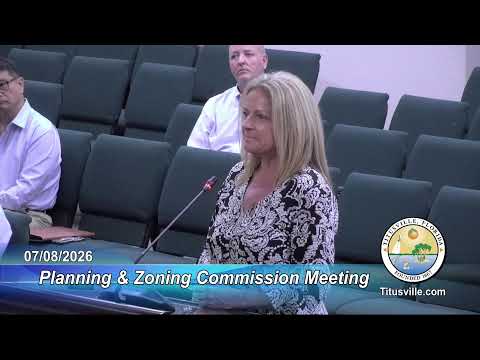
The Planning & Zoning Commission on July 8 voted to transmit to state review a comprehensive‑plan map amendment and a text amendment for the Space Coast Innovation Park Phase 3, a roughly 350‑acre airport‑owned master plan that would consolidate multiple land‑use categories into a planned industrial park (PID/PIP) with a reduced maximum floor area ratio of 0.23 for the site and a large conservation component.
Senior planner Christy Anderson said the proposal designates about 97.6 acres (roughly 27%) as open space and proposes conservation easements covering nearly 41% of the total site. The staff packet included a UMAM (Uniform Mitigation Assessment Method) analysis indicating the applicant’s mitigation approach would produce a net functional gain in wetland credits; the applicant said the conservation easement would be vested to the St. Johns River Water Management District and that unavoidable wetland impacts would be mitigated under state permitting.
Commissioners repeatedly asked for more specificity on phasing, what uses are likely in each phase and how the applicant calculated the reduced FAR and traffic impacts. The applicant’s team (including Kimley Horn and traffic/ENV consultants) said they had massing studies showing roughly 3.5 million square feet of realistic industrial build‑out (after accounting for conservation areas), that traffic and concurrency were analyzed on a maximum‑potential basis for the comp‑plan review, and that site‑level traffic impact studies and FDOT driveway and access permits would be required for individual site plans.
Commissioners pressed whether the comp‑plan change would permit heavy or hazardous industrial uses; staff replied that permitted uses are determined by the PID zoning use table and that heavy industrial uses typically require conditional use review. Commissioners also questioned whether a future need to widen State Road 407 could be anticipated and whether right‑of‑way or intersection improvements would be required; the applicant’s traffic engineer said FDOT will set driveway and study requirements and that detailed traffic analysis would be performed with methodology pre‑approved by FDOT.
After the public discussion and applicant responses, Member Rice moved—and the commission seconded—to transmit CPA 1‑20‑26 (map) and CPA 2‑20‑26 (text) to the state for review; the motion passed on roll call with Secretary Faison recorded as the lone no vote. Staff said adoption hearings will follow the state review period and site‑plan review will address detailed mitigation and infrastructure.