Get Full Government Meeting Transcripts, Videos, & Alerts Forever!
Get email alerts on the Open Space Parcels topic
No spam. Unsubscribe anytime.
Commission begins mapping five town‑owned parcels, schedules site visits to weigh open‑space uses
Summary
The Rocky Hill Conservation Commission reviewed five town‑owned vacant parcels tied to the Plan of Conservation and Development, discussed mapping and evaluation criteria, and agreed to coordinated site visits in subgroups of three or fewer before the next meeting.
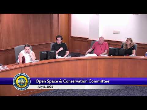
Commissioners reviewed a staff packet July 8 that listed five town‑owned vacant parcels and discussed next steps to evaluate possible open‑space designations and other uses.
A committee member said the Plan Implementation Committee met June 24 and recommended maintaining a tracker to log actions taken under the Plan of Conservation and Development (POCD). Staff said a revised map is in progress that will show town‑owned parcels and may include privately owned parcels for consideration.
Staff described the five parcels and their current statuses: deed‑restricted open space in some cases, a solar farm lease and a town composting site in others, and at least one parcel identified for recreational or educational public purpose. The West Street parcel—about 75 acres—was singled out as large enough for multiple committee interests, with Hog Brook running through it and an old trolley truss noted as a landscape feature.
Commissioners and staff discussed competing interests: parks and recreation has proposed fields and other active uses, and the recently formed affordable housing committee is also seeking parcels for potential housing. Speakers recommended using subdivision regulations and planning criteria—such as upland/wetland ratios, recreational suitability and buffers—to assess and prioritize parcels, and suggested conservation easements when land is repurposed.
Members agreed to organize site visits in subgroups of three or fewer to avoid a quorum; staff asked members to email planned dates and said staff would alert members if more than three intended to attend. One commissioner volunteered to coordinate trips and to distribute an overview for those unable to attend in person.
The commission deferred further decisions until the updated map is complete and suggested taking up individual parcel assessments at a future meeting.