Get Full Government Meeting Transcripts, Videos, & Alerts Forever!
Get email alerts on the Hurricane Season Forecast topic
No spam. Unsubscribe anytime.
National Weather Service outlines 2026 hurricane outlook, urges Orange County residents to prepare
Summary
At Orange County's 2026 hurricane expo, National Weather Service Melbourne presented the seasonal outlook — citing a 55% chance of below-normal activity and a 98% likelihood of El Nio — and stressed that "it only takes one storm" to cause major local impacts.
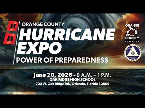
At the 2026 annual hurricane expo in Orange County, Matt Volkmar, the science and operations officer at the National Weather Service in Melbourne, presented the agency's outlook for the 2026 Atlantic hurricane season and urged residents to prepare.
"It all only takes 1 storm to have a big impact on the season and your local area," Volkmar said, repeating a core preparedness message and noting that the Melbourne office issues local watches and warnings for the Orlando metro area.
Volkmar summarized the NWS/NOAA seasonal forecast and key statistics: the agency has assigned about a 55% probability of a below-normal Atlantic season, roughly a one-third chance of a near-normal season and about a 10% chance of an above-normal season for 2026. He also said there is about a 98% chance of El Nio conditions developing by the AugustOctober period, which generally increases vertical wind shear across the Atlantic and tends to suppress storm counts, though warm Atlantic sea-surface temperatures remain a competing factor.
The presenter emphasized hazards and timing. He said water-based hazardsstorm surge and flooding rainfallaccount for most direct fatalities from tropical cyclones and that freshwater flooding has been the leading cause of deaths in recent years. He described NWS and National Hurricane Center products people should use (weather.gov, NOAA Weather Radio and official NHC products) and explained watches and warnings: a hurricane watch means conditions are possible within about 24 hours and a hurricane warning is typically issued about 36 hours before expected impacts, signaling a time to finalize evacuation or shelter plans.
Volkmar reviewed recent seasons as context: he said 2025 produced four major hurricanes that reached Category 5 intensity in the Atlantic basin (none made U.S. landfall), with about 125 total fatalities across the basin and notable rapid intensification events. He used those examples to reiterate that early-season quiet periods do not prevent a late-season catastrophic storm.
He also described shorter-term products the office issues as storms approach (radar-based tornado and flash-flood warnings, extreme wind warnings) and noted improvements in forecast accuracy, particularly in day-five track forecasts and shrinking uncertainty cones.
Volkmar warned against relying on social media for official guidance and encouraged use of trusted sources. "We don't really wanna go searching out on, you know, TikTok or social media, for our recommendations for our weather forecast," he said, adding that reporting significant weather to emergency management or the National Weather Service helps document impacts.
As a practical next step, Volkmar announced a Florida tropical training week July 27through 30 with sessions at 11 a.m., 1 p.m. and 7 p.m., presented live by Melbourne meteorologists. He closed by inviting questions from the audience and directing residents to weather.gov and NOAA Weather Radio for official updates.