Get Full Government Meeting Transcripts, Videos, & Alerts Forever!
Get email alerts on the Geospatial Governance topic
No spam. Unsubscribe anytime.
Committee advances move of Georgia’s geospatial advisory council to Department of Community Affairs
Summary
A legislative committee voted 9–4 to advance a bill that would administratively tie the state’s Geospatial Advisory Council to the Department of Community Affairs and formalize a Geospatial Information Office; members questioned funding, staffing, privacy and federal standards during a briefing by the state Geospatial Information Officer.
A legislative committee on Wednesday voted 9–4 to advance a bill that would move Georgia’s Geospatial Advisory Council to the Department of Community Affairs (DCA) and support the work of a nascent Geospatial Information Office.
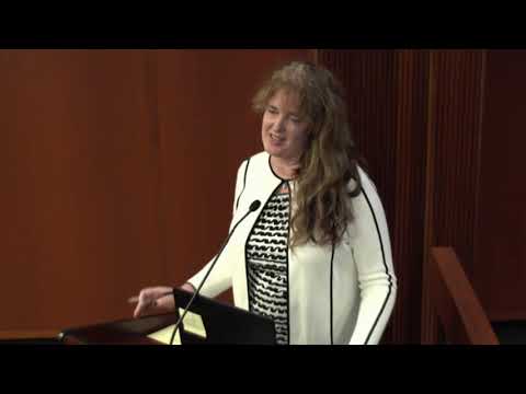
Susan, the state geospatial information officer, told the committee the office would coordinate location-based datasets — parcels, floodplains, building footprints and other “spatial” information — to reduce duplication across cities, counties, regional commissions and state agencies. "Geospatial data is just data. You just add a location piece to it," she said, describing how a single, maintained dataset could save the state time and money.
Why it matters: Committee members said centralized, interoperable datasets could improve emergency response, flood planning, economic development and the state’s census work. The bill before the committee would recreate the advisory council at DCA; it does not include a direct state funding appropriation.
What was presented: Susan said Georgia has relied on federal and regional grants to stand up the office so far, including a 24‑month grant from the U.S. Economic Development Administration that the regional commissions matched. She told members she secured additional federal funds, including an approximately $250,000 U.S. Geological Survey grant to fly lidar and build elevation data. She recommended starting the office with a small core staff (she suggested starting with two positions) and scaling as needed, while using technology to roll up locally created data.
Funding and timing: The committee heard multiple times that the advisory-council bill contains no state money. Representative Dickey said he plans to pursue longer-term funding but acknowledged current funding is a patchwork of federal dollars and regional commission support. Susan said fundamental statewide datasets such as addresses and building footprints will take years to compile and maintain; she suggested the state could be a visible leader in key areas within three to five years if it adopts standards and maintenance plans.
Standards and federal coordination: Members asked about federal notification or compliance requirements. Susan cited federal geospatial standards bodies and said the state intends to follow federal quality-level standards for elevation and other datasets so Georgia can be eligible for federal partnerships and grants.
Privacy and cybersecurity: At least one member raised privacy concerns about higher-resolution imagery and other data. Representative Cook asked whether federal notification requirements address privacy implications; Susan said she could not name a specific federal rule on privacy in the moment but said the office is working with the Georgia Technology Authority on cybersecurity and would follow GTA’s policies. "We would anything we would do would be in a 100% compliance with GTA and it would be governed by their cybersecurity policies," she said.
Local roles preserved: Susan emphasized the office would not replace local GIS work but would standardize formats so local assessor and planning offices can share and benefit from aggregated datasets. She used tax-assessor offices as an example — Georgia has 159 assessors whose parcel data could be rolled up to statewide datasets if standards are implemented.
History and legal form: Members raised the bill’s history: an earlier effort to reestablish the advisory council was vetoed in 2013. Committee members asked why the position and council are created through code rather than administrative rule; speakers said the council was previously created in statute, so moving it requires the same code-based process.
Vote and next steps: Representative McClain moved the committee to advance the bill; after a second, the measure passed by a 9–4 vote. Committee leaders said they will file their report and move the legislation to the next step in the process.
The committee hearing included multiple requests for follow-up briefings on costs, staffing and additional implementation details; no final state appropriation was approved during the session.