Get Full Government Meeting Transcripts, Videos, & Alerts Forever!
Get email alerts on the General Plan Update topic
No spam. Unsubscribe anytime.
South Weber planning commission prioritizes annexation, transportation and downtown planning in general plan update
Summary
Commissioners directed staff to draft targeted general plan amendments and maps prioritized for further work: annexation viability studies, transportation connections, a defined downtown/core master-plan area, and validating the sensitive lands map; staff will seek outside economic-development expertise and plan public open-house outreach.
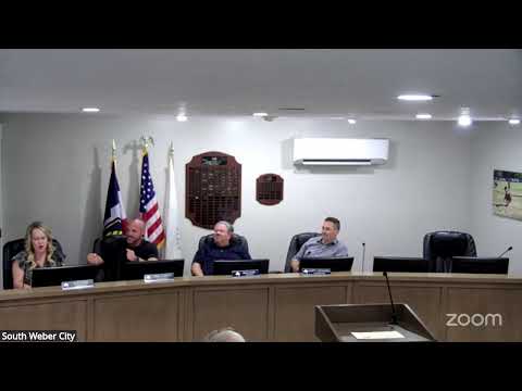
The South Weber City Planning Commission spent the July 9 meeting prioritizing amendments to its general plan, directing staff to prepare draft map updates and public-outreach materials that focus on annexation viability, transportation connections, a defined downtown/core master-plan area near Central Park and the fire station, and review of the sensitive lands map.
Staff told the commission it will produce draft updates to the five general plan maps (projected land use, transportation, active transportation, sensitive lands and annexation) and then return with refined proposals for commissioner review. "This is meant to be a general overview of the process... staff will write up a summary of here's what we heard," said Lance, the planning staff member, describing a draft→public open house→public hearing workflow.
Commissioners asked staff to seek outside expertise on economic viability for potential annexation candidates — including Davis County Economic Development and the Northern Utah Economic Development Association — and to report back with market analysis and property-owner interest. "We reached out to Davis County Economic Development and Northern Utah Economic Development... they're working on a date," Lance said. Commissioners said market research will help inform whether to pursue annexation of the South Bench / Evergreen-Barlow properties and whether new connections (north–south or east–west) are viable.
The commission agreed to rename a working item to "Transportation connections" to capture a broader set of intercity and intra-city access options rather than a single "road to Layton" framing. Commissioners emphasized that transportation-map updates should reflect connection points created by approved developments and recommended staff show realistic options with pros, cons and, where feasible, rough cost implications to help the public evaluate tradeoffs at outreach events.
On the proposed downtown/core area, commissioners asked staff to define the study area more precisely (roughly 1250 East to 1375 East, Lester Drive to South Weaver Drive) and to prepare zoning and use scenarios and a pros/cons analysis so property owners and residents can weigh in. "We can recommend saying this area we're going to change the zoning of this area to be a central business district," said one commissioner during the exchange.
Commissioners also discussed the sensitive lands map and how the city uses geotechnical reports: the map functions as a broad screening tool and, when a site triggers the sensitive lands designation, geotechnical professionals identify hazards and mitigation. Concerns were raised that some families have emailed commissioners about possible contamination on properties near remediation sites. "I've seen a number of emails ... how can you sell this property and develop this property that is part of the Superfund cleanup?" a commissioner said; staff replied that the city relies on professional geotechnical reports and can commission third‑party reviews reimbursed by applicants where necessary.
On longer-horizon items such as gravel pits, commissioners debated the proper level of public engagement now versus later; some favored open-house scenarios (post-its/stickers on maps showing options) so residents could express preferences, while others argued such items are lower priority because existing operations and market timelines make near-term change unlikely.
Next steps: staff will prepare draft map updates and prioritize a small number of amendments for the next meeting, coordinate outreach (open houses or interactive maps), and present market and technical analyses where needed. The commission agreed to continue the general plan review at a future meeting and adjourned.