Get Full Government Meeting Transcripts, Videos, & Alerts Forever!
Get email alerts on the Flooding topic
No spam. Unsubscribe anytime.
Winneshiek supervisors weigh cutting two USGS river gauges as budgets tighten
Summary
Supervisors discussed whether to keep funding two USGS river gauges in Bluffton and Spillville or replace them with lower-cost bridge sensors after budget-growth caps reduced flexibility; the county may cover roughly $8,600 per gauge if outside contributions fall short.
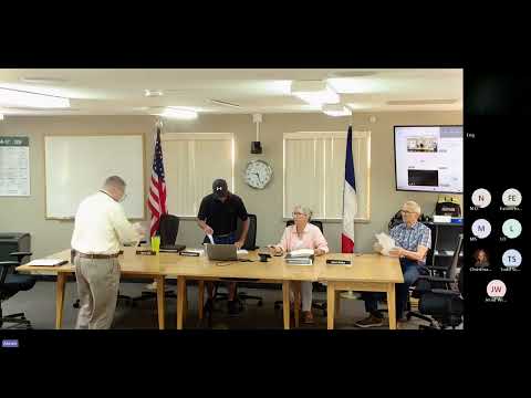
Winneshiek County supervisors discussed the possible decommissioning of two U.S. Geological Survey (USGS) river gauges — in Bluffton and Spillville — and weighed the flood-forecasting trade-offs against tight budget growth limits.
At a board meeting, supervisors said the two gauges the county supports cost $22,230 annually; the USGS identified $5,000 in additional funding, dropping the county’s annual contribution to about $17,230. That works out to roughly $8,600 per gauge if the county covers the remainder. The county has already replaced two other gauges with Iowa Flood Center bridge-mounted sensors, which carry a one-time installation cost of about $9,000 per site but do not provide the velocity data USGS gauges supply for NOAA and National Weather Service forecasting.
"We saved about $10,000 on our budget for a onetime cost," the chair told the board as staff described prior swaps of comparable gauges. But supervisors stressed Bluffton and Spillville play a different role: both are forecasting sites whose velocity data feed downstream flood forecasts. One supervisor said removing the Bluffton gauge would leave Decorah as the first forecasting point on the Upper Iowa River and leave communities upstream with less lead time for warnings.
Emergency management and commission staff presented three options: keep the gauges funded, identify alternate funding sources, or decommission and rely on bridge sensors. Staff emphasized the forecasting limitations of bridge sensors, noting they show water height but not the velocity inputs hydrologic engineers use in forecasting models.
Officials said they would first explore creative funding options through the commission’s supplemental or general funds and ask local cities (Fort Atkinson and Spillville) whether they can contribute. The item will return to the commission’s agenda in August and be revisited in fiscal-year 2028 budget planning.
Next steps: staff will continue outreach with the USGS and affected municipalities and include the gauges’ funding status in upcoming budget discussions.