Get Full Government Meeting Transcripts, Videos, & Alerts Forever!
Get email alerts on the Trails Safety topic
No spam. Unsubscribe anytime.
Mapleton staff outline trail signage overhaul, tighter sight-line controls and hiking-only rules for new trail
Summary
City staff presented an updated trail-signage plan that adds center striping, red-curb no-parking zones at crossings and new trailhead wayfinding; one new trail will be designated hiking-only with explicit "no bikes" language and QR codes will link signs to the city's citizen-reporting tool.
Logan, the city parks staff lead, told council the city will replace trail signage that was previously posted on locked gates and is now unreadable after gates were opened. "We opened the gates. Now you can't read them," he said, noting recent ordinance and branding updates require refreshed signs that match current code language and provide wayfinding.
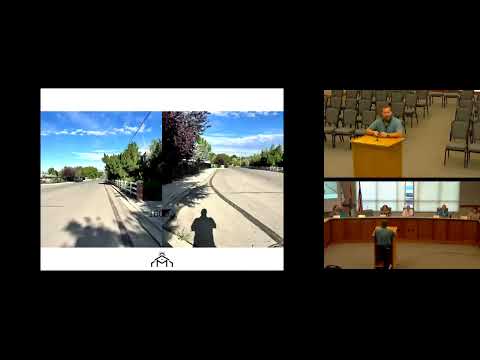
Logan outlined a package of safety measures intended for paved trails: a center stripe on multiuse pavement to help separate two-way traffic, painted trail-crossing warnings at selected road approaches, and red-curb no-parking zones adjacent to intersections (proposed distances ranged from about 30 to 50 feet depending on the crossing). He said staff will use engineering judgment—rather than painting every crossing—to place pavement markings only where they provide a measurable benefit.
At the Maple Hills Trailhead, city designs call for a tall wayfinding sign and mileage markers along the trail. Logan said that particular trail will be hiking-only and the multiuse signage will include language barring "motorized vehicles including ebikes." Council members asked staff to change the phrasing to read "no bikes" as well so the restriction is clear to riders approaching from connected trails.
Staff also proposed a QR code on signs that links to the city's citizen-reporting tool so residents can report maintenance needs or violations. The plan includes evaluating whether every gate needs signage or if signs can be sited at alternating intersections while remaining highly visible. Staff said they will circulate the final layouts to council for review and will schedule striping and signage installation with follow-up reports to council on implementation timing.
The council did not take a formal vote; staff will return with final sign counts, paint specifications and a proposed installation timeline.